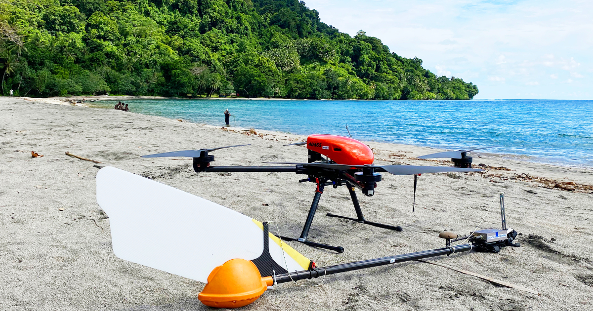
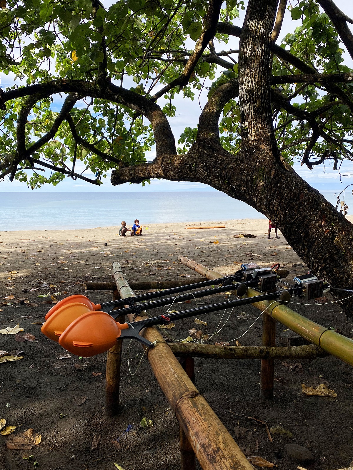
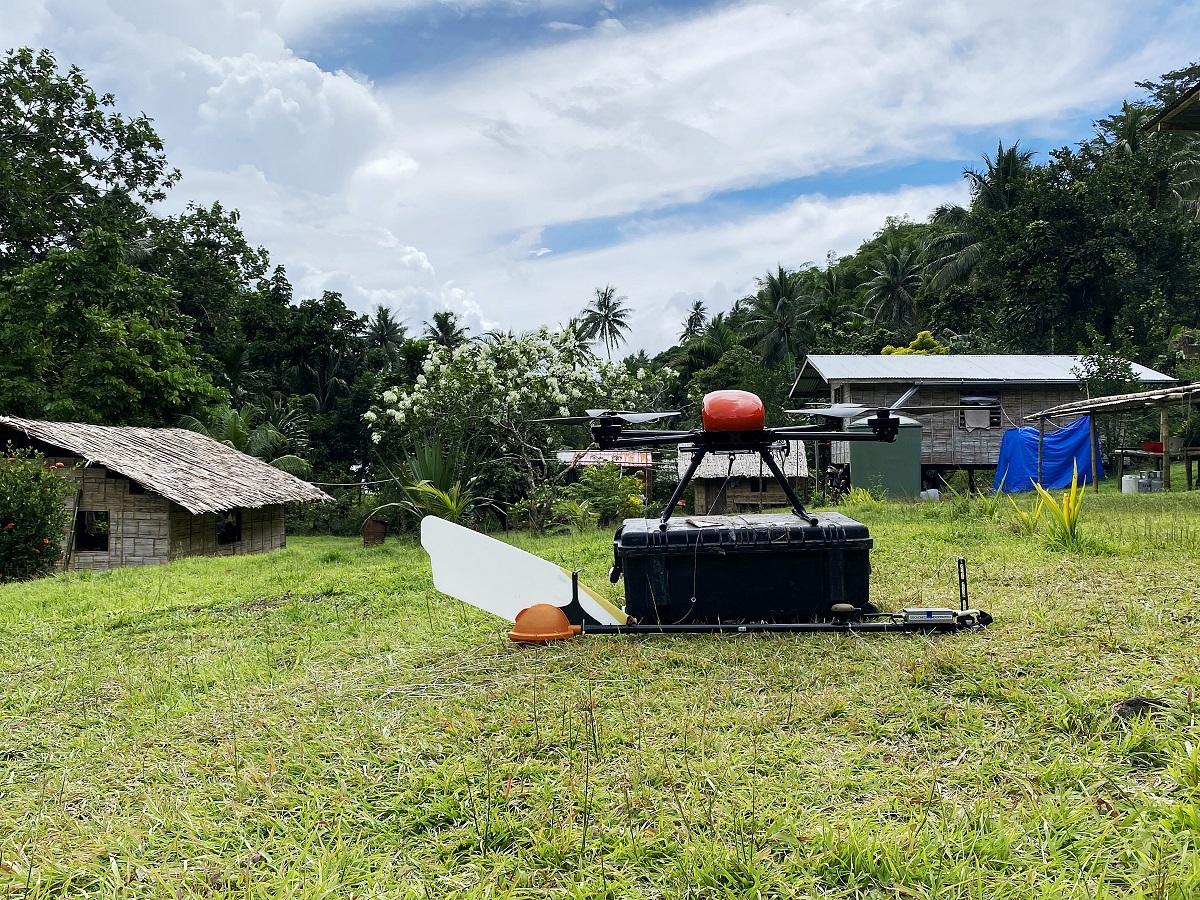
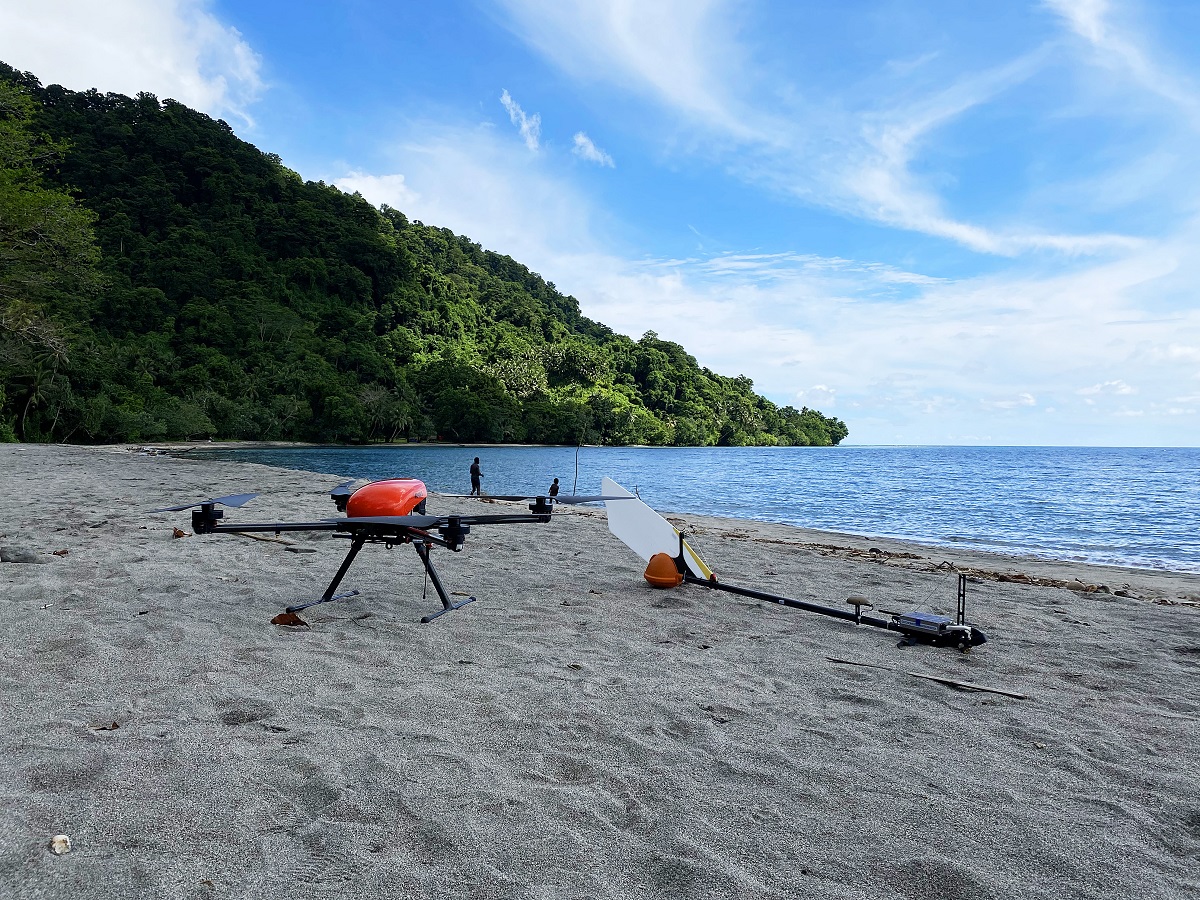
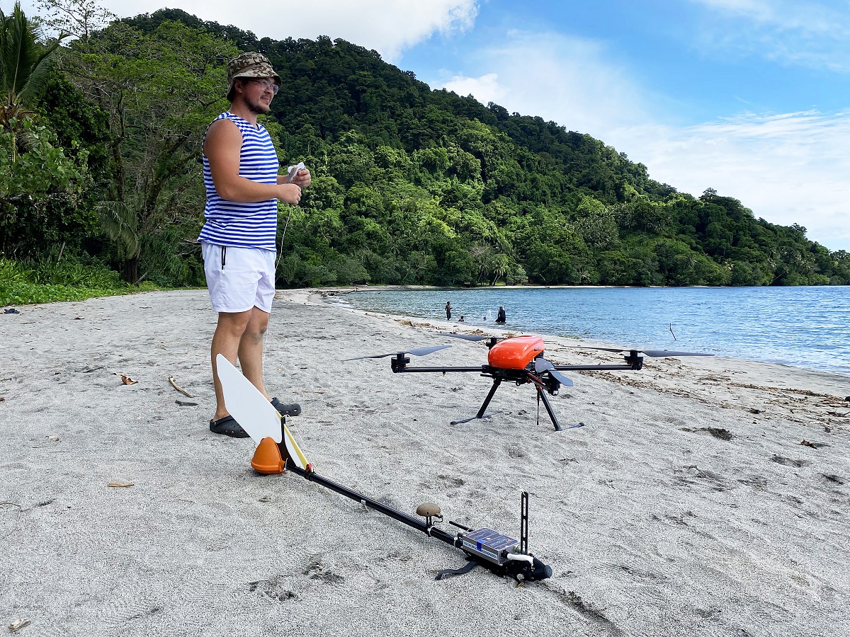
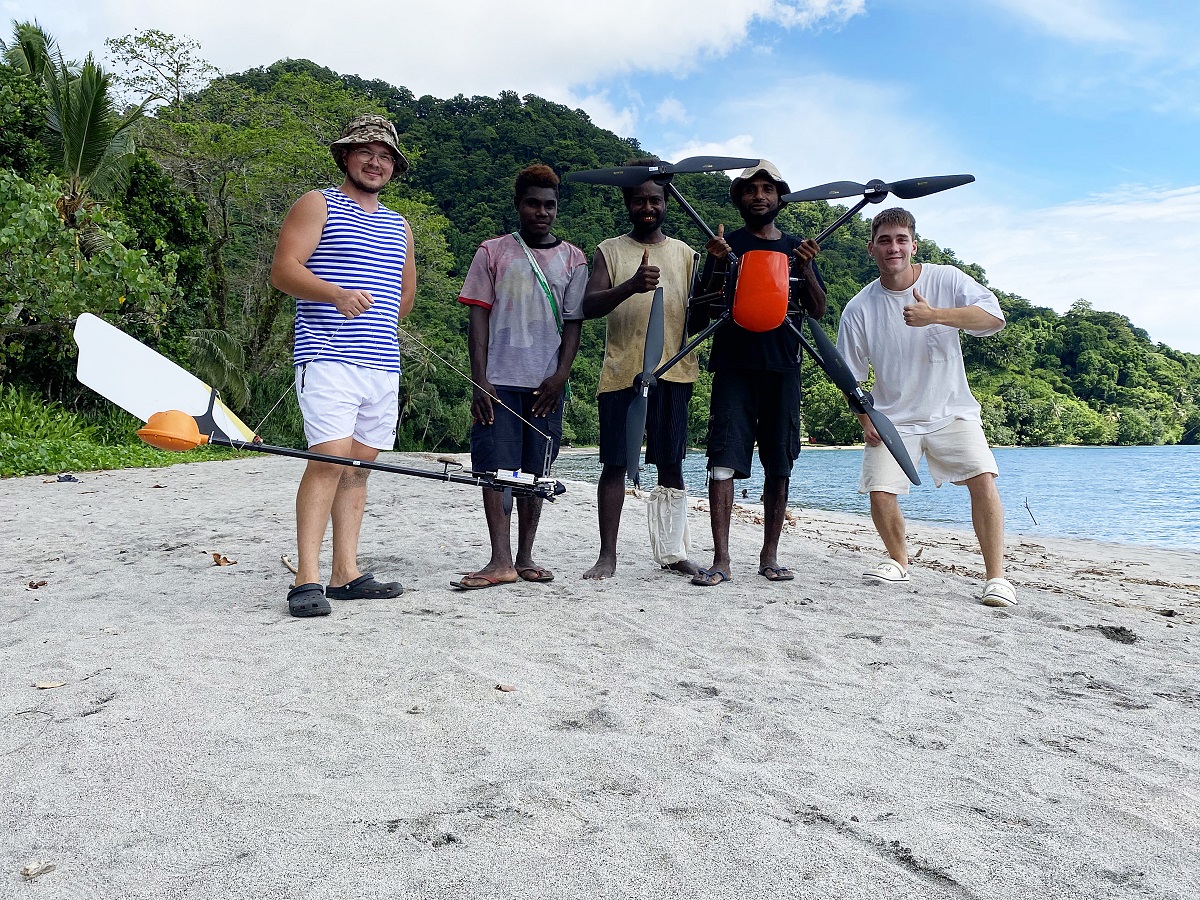
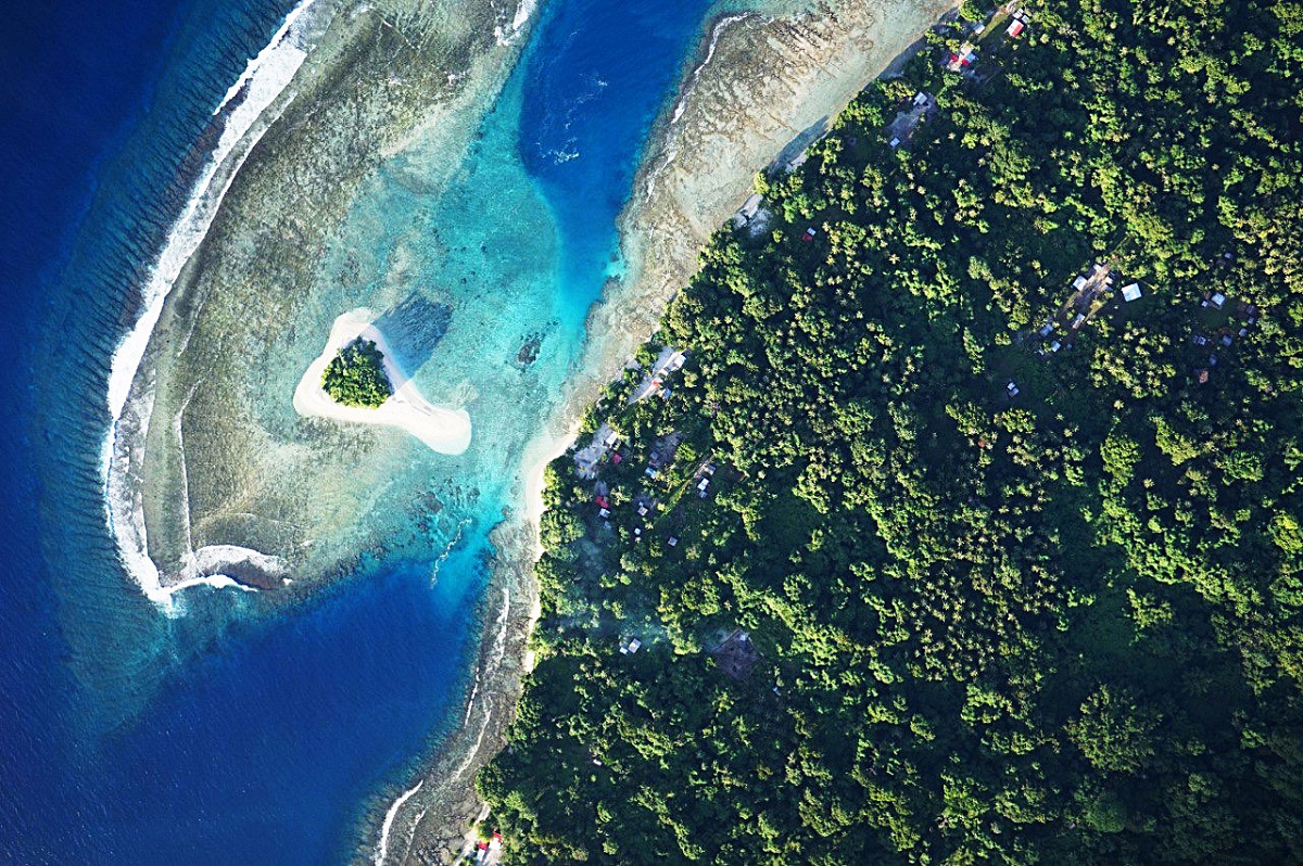
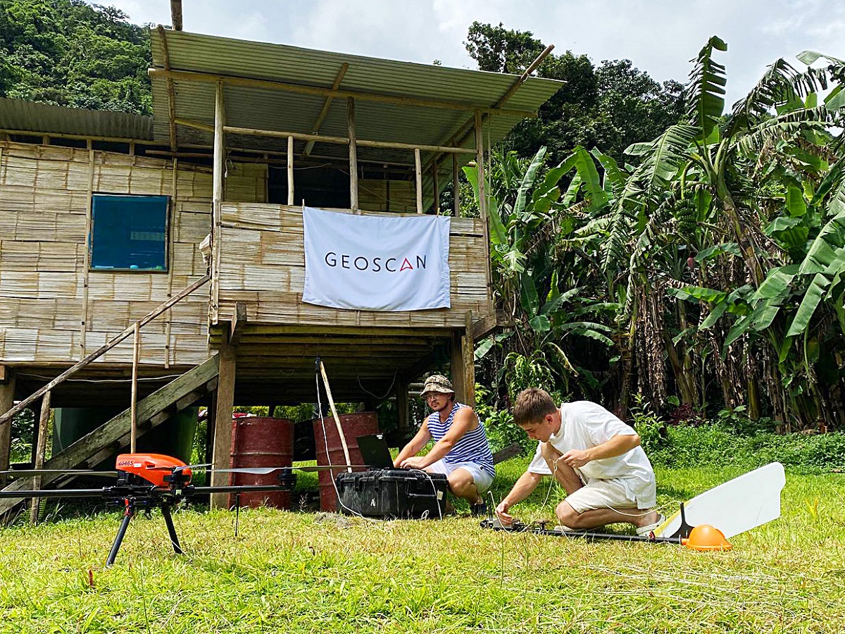
Geoscan's UAVs have repeatedly proven their ability to handle extreme conditions across various latitudes: from the Arctic zone to sandy deserts. This autumn, our specialists traveled to Papua New Guinea to conduct aerial photography and aeromagnetic surveying of Ambitle Island, aiding in the search for gold deposits.
The project was commissioned by an international gold mining company. Ambitle is part of the Feni Islands and is located near several other island groups. In the past century, one of them turned out to have the largest gold deposit discovered in this region. Due to the similar geological structure of the two island groups, the company's specialists hypothesized that gold deposits might also be present on Ambitle Island. The survey conducted using the Geoscan 201 and Geoscan 401 Geophysics drones was the first step in testing their hypothesis.
The work took place from early November to mid-December, coinciding with the start of the rainy season in Papua New Guinea. Weather conditions complicated aerial survey: tropical downpours often began while the aircraft were still carrying out their flight missions. On top of that, clouds constantly hovered over some parts of the island due to the hot springs. In such locations, operators relied on the wind rose to predict favorable conditions for the UAV, obtain clear images, and create an elevation map for subsequent aeromagnetic surveying. To obtain high-quality materials, it took three days for the operators to perform the aerial photography instead of the planned one.
“A very emotional situation occurred on one of the last days, when we had only two flights left before completing the island. Geoscan 401 was flying over the ocean and was already returning to the starting point when a hurricane struck, bringing very strong winds and rain. The aircraft tilted one and a half times beyond its stated limit: at one point, the pitch reached 50 degrees, with the critical value being 30 degrees. But our drone managed to fly back and land, overcoming even such severe weather conditions”, said Geoscan UAV operator Danil Talantsev.
The terrain features also increased the time spent on surveying. Geoscan UAV operator Vladimir Tuzovsky noted that the average route length of Geoscan 401 was one and a half times shorter compared to other aeromagnetic operations. With mountain heights reaching up to 600 meters, the slope steepness sometimes reached 70 degrees, and the aircraft flew almost vertically, consuming more energy. To conduct an aeromagnetic survey of 90 square kilometers of Ambitle Island, Geoscan 401 performed 240 flights. This required 15 days — under favorable weather conditions, operators typically complete such a volume of work within a week.
As a result, an orthophotomap, an elevation map, and an anomalous magnetic field map were prepared. These contain data on the accumulation of magnetic masses, which indicate potential mineral deposits. These materials will help the client develop optimal ground routes and adjust plans for gold mining on the island.
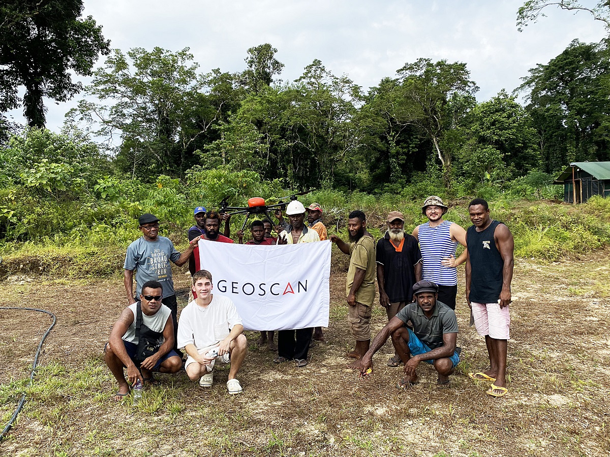
“The project was carried out in close coordination with the client company. All materials were delivered on a daily basis for parallel quality control and have already received high praise. Whether work will continue with this particular company is still uncertain — we do not know if they have other sites requiring magnetic surveying. However, during the survey, we met numerous specialists who have already recommended Geoscan to their colleagues and partners. We hope this project will become a starting point for us and bring new collaborations in the region”, commented Dmitry Goglev, Head of the Geophysics Division at Geoscan.
