As part of a series of videos about the experience of the use of Sputnik Web we talked with CEO of Geometer 3D company - Dmitry Naumenko - about the ways of the most effective use of the service, the ways of application of the Sputnik Web tools and how it helps to save on field works and coordination with customers.
- Tell us about your company, please.
- GeoMeter 3D company was founded 5 years ago. The company was mainly involved in cadastral and land registration of the land plots, which was carried out on a classical technology with the involvement of the GPS and total stations for the further cadastral registration.
Our company includes 8 people: these are cadastral surveyors, cartographers, topographical surveyors, geodesists and me, as the chief and the aerial photo surveyor with 25 years of experience.
- Which data do you use for the work with Sputnik Web? How do you acquire the geodata?
- I, as, previously, the partner of the company's founder and now - its head and CEO - decided to start the use of unmanned aerial vehicles basing on Geoscan technology.
- What has led you to the use of Sputnik Web?
- The settlements not always have powerful PC's for the installation of the expensive software such as AutoCAD. MapInfo, QGIS. We chose Sputnik Web to not install expensive software on the workplaces.
- What has changed in the company's workflow after the integration of the service?
- This service allows minimizing the logistics costs, harmonizations terms, decision making, reduces labor costs and the speed of the information exchange between cadastral surveyors and administration on the harmonization of the certain land surveying cases..

- Give us an example of the project where Sputnik Web was used?
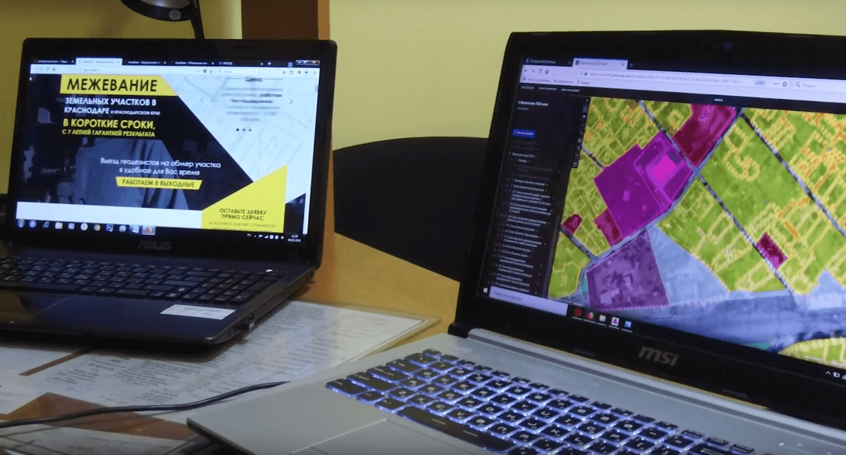
- The project, that our company has performed with the use of Sputnik Web is the creation of the RoLUaD of the Volosovo town (RoLUaD - rules of the land use and development [of the territory]). The operator uploads the contour of the land plot and informs the administration by sending the email. And after a few minutes, administration observes the situation of the object by zooming to the specified location trying to recognize whether there are overlaps or not? It takes only 5-10 minutes. Without the use of Sputnik Web, it takes hours or even days.
We have installed this software on the customer's computers, as a result - all the zones take the appropriate places, the data is processed, the customer is satisfied, RoLUaD is taken to work.
- How has Sputnik Web helped to save the resources of the company?
- Earlier, we were going to the field for decision making, and that is the labor costs of at least one day. Savings - one day and two specialists: surveyor and assistant.
- Which key features of Sputnik Web would you highlight for your company?
- I call them the "pallets", which pop up in the software interface, are the distances and areas measurement and the volumes as well if someone uses the tile model. Sometimes we provide our customers with the quarry survey data, cuts and fills, embankments and heaps of rubble volumes in Sputnik Web, where they can manually control the survey workflow and the results that we provide in the form of tables for the following volumes and reserves analysis.
Full version (with english subtitles) of the interview is available at our YouTube channel:
