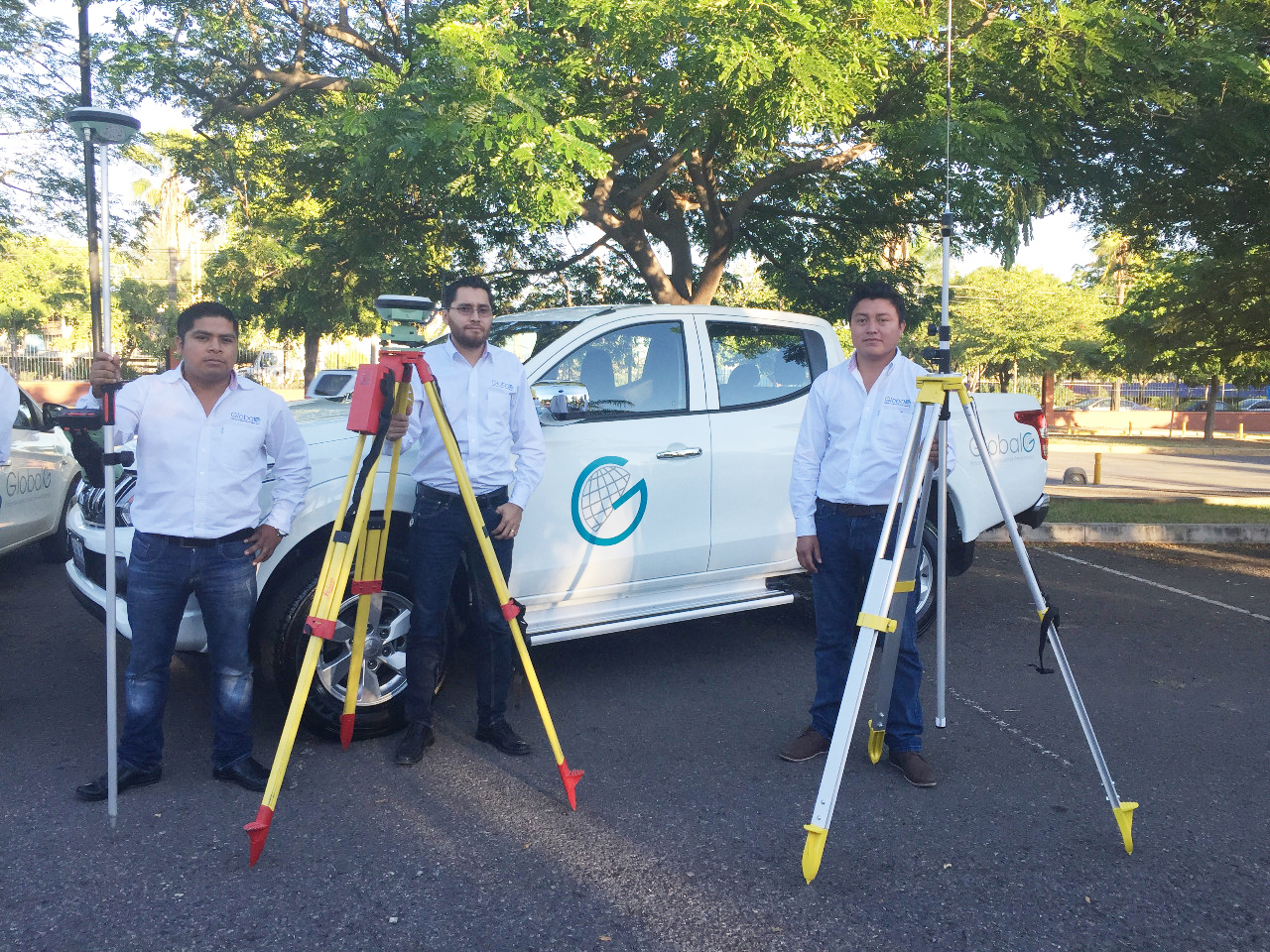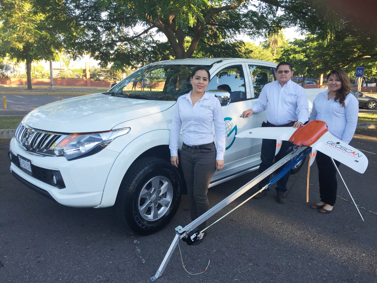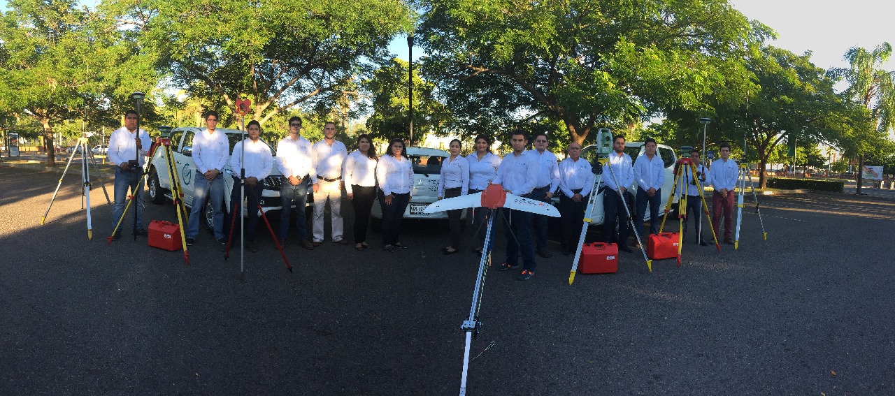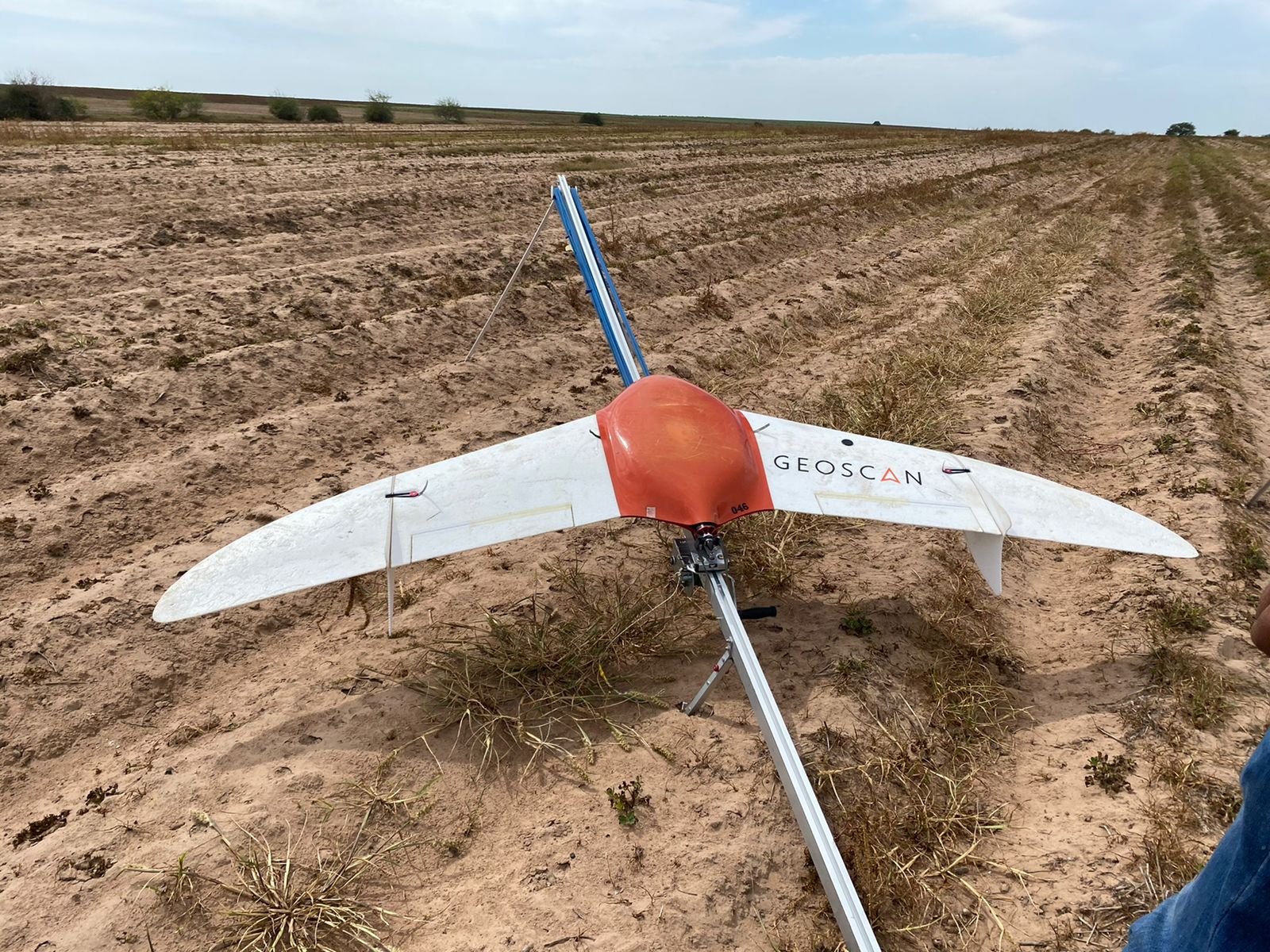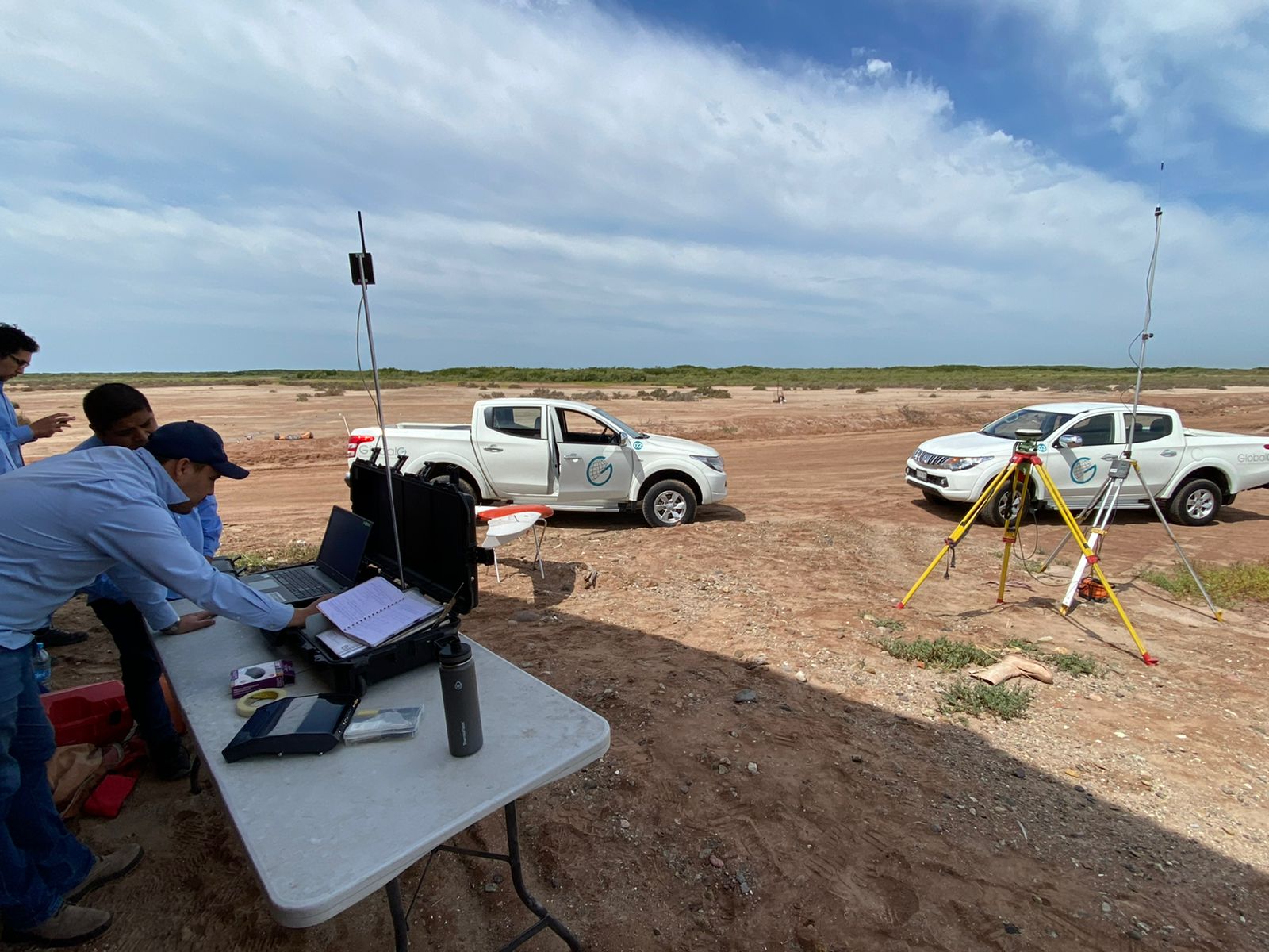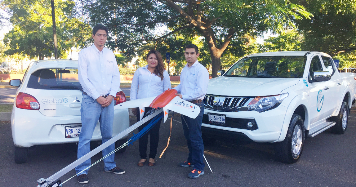
For several years a Mexico-based company GlobalG (Proyectos Juridicos para la Geotenencia), the partners of DTM Mexico, has been utilising Geoscan UAVs for mapping. Their fleet includes a Gemini, two Geoscan Lite and four Geoscan 201, with more than 1500 flights being made on the whole.
We talked with the company representatives and found out about the UAV usage in their country and the advantages of our vehicles.
About the use of UAVs in Mexico
As GlobalG specialists say, UAVs are utilised in many spheres these days, for instance, agriculture, geodesy and mineral exploration, which are in high demand in their region. Efficiency of UAVs is obvious—within a project a terrestrial survey can take up to three months, while a UAV can cover the same territory just for five days. By the way, data received are as precise as those got during terrestrial survey.
In Mexico, it is easy to register an UAV and get a permission to make flights. GlobalG claims that there are no differences in this procedure for vehicles made by local or foreign companies. The challenge the company had faced was to get insurance as only UAVs operating within VLOS were considered.
Geoscan UAV advantages
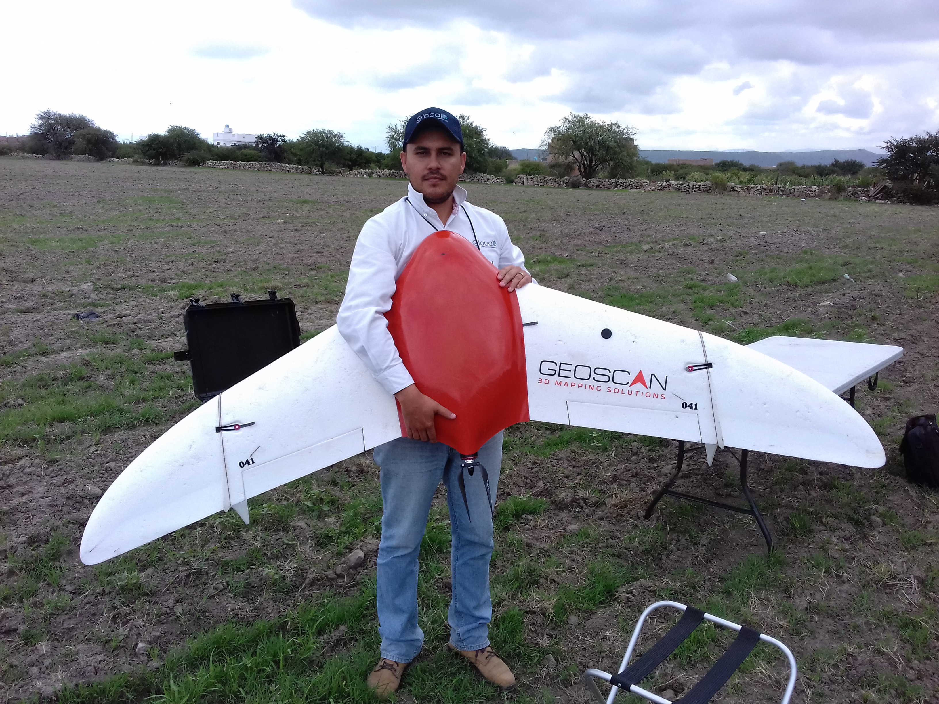
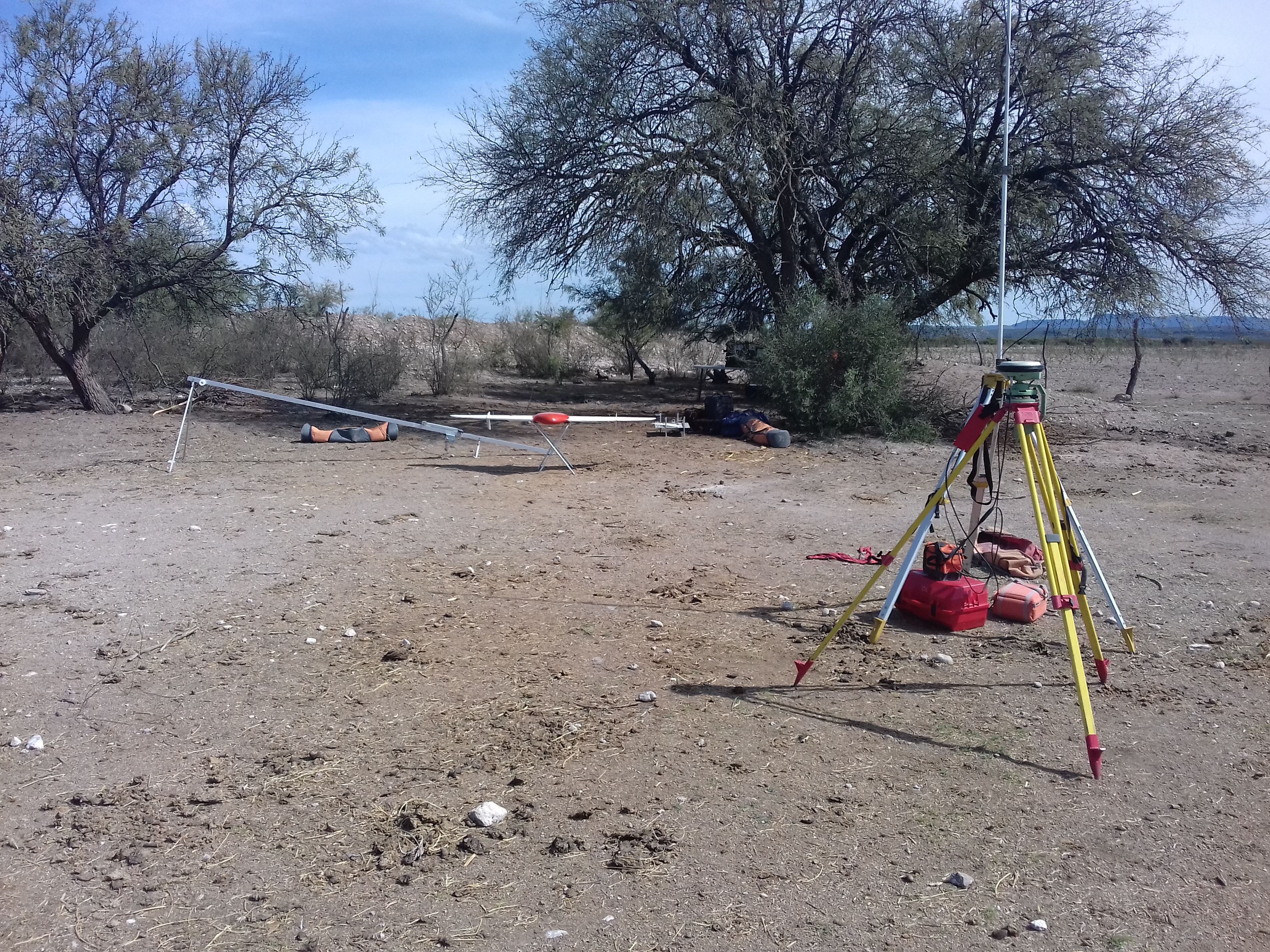
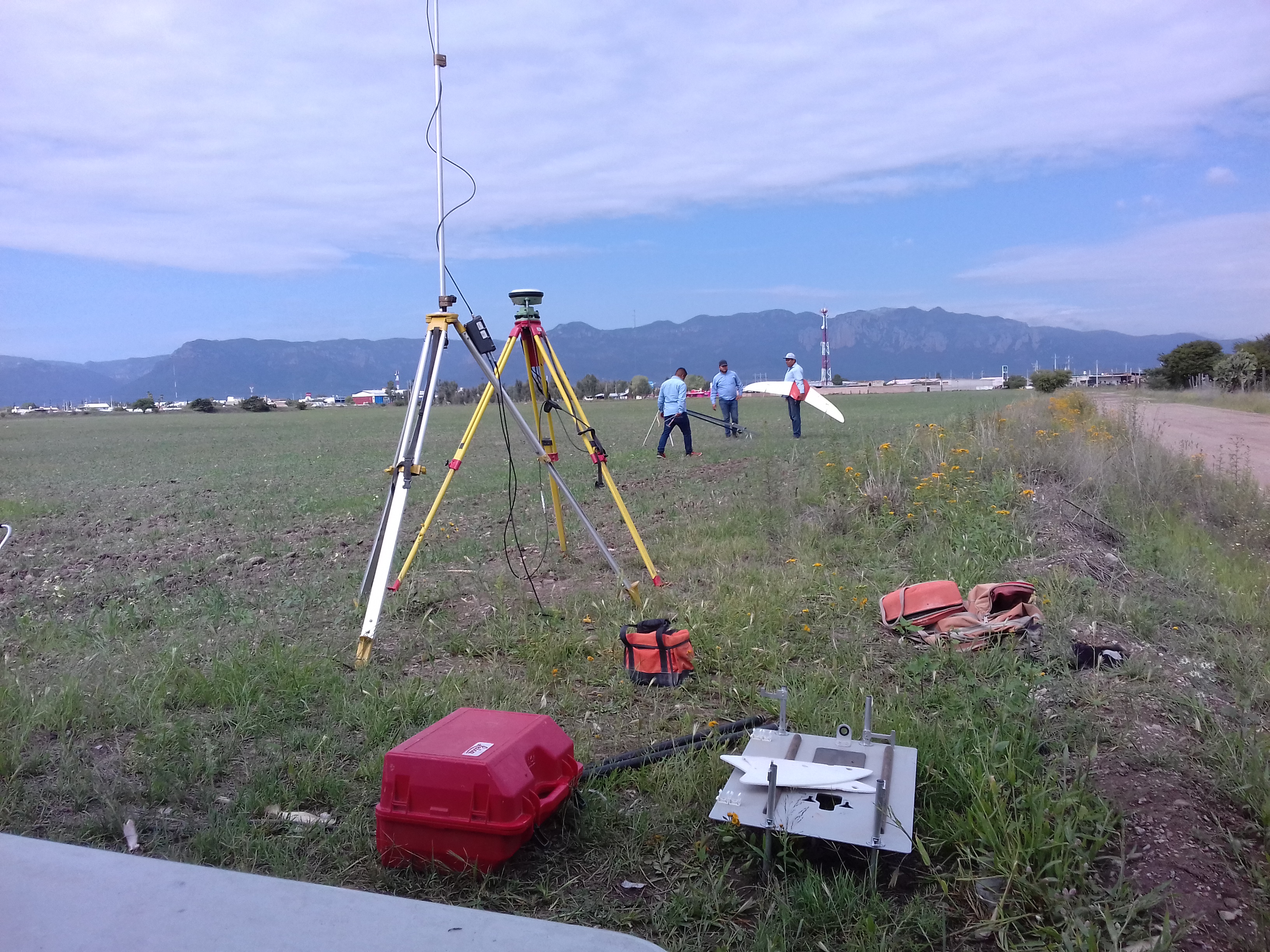
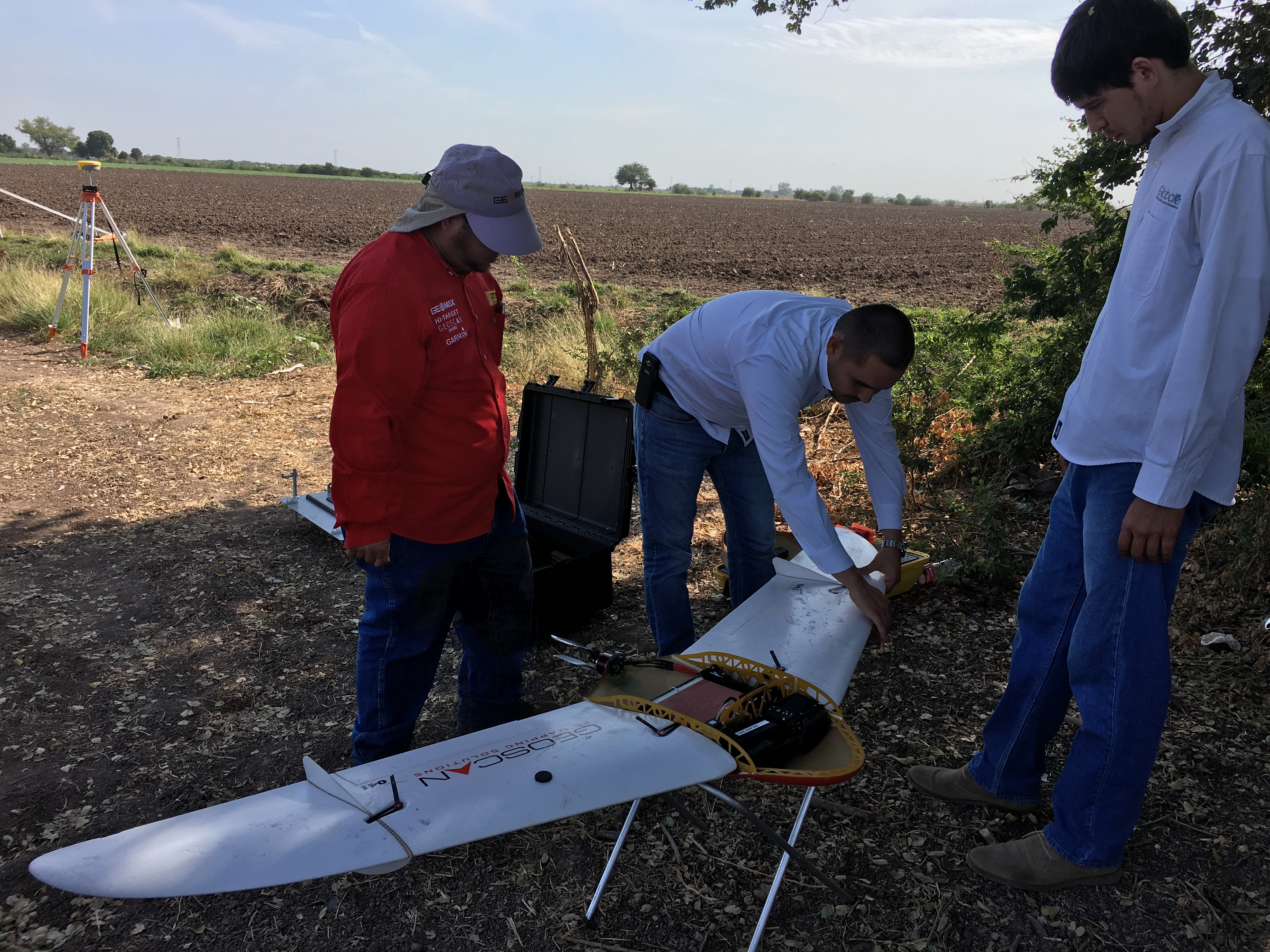
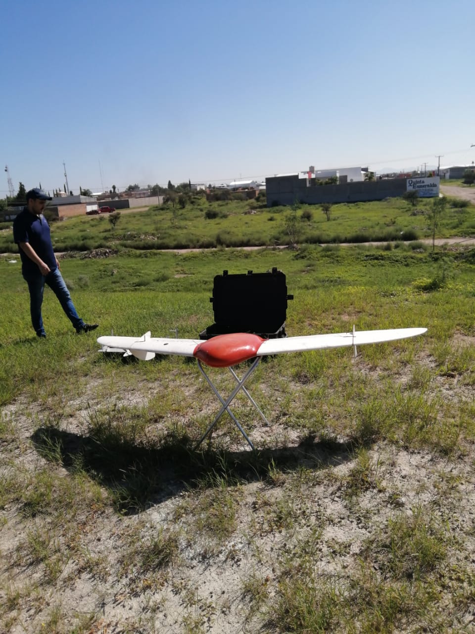
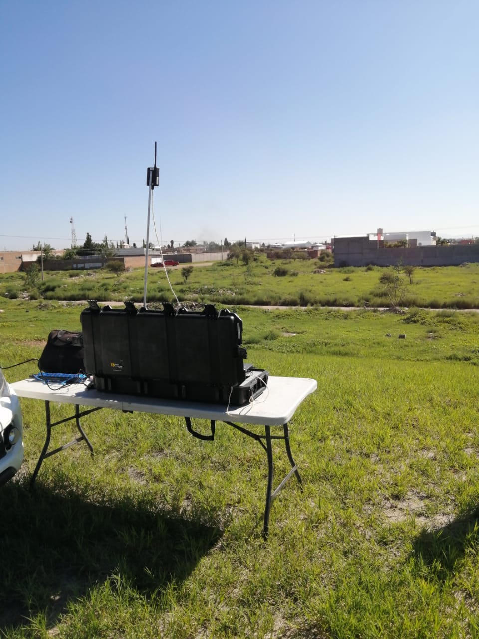
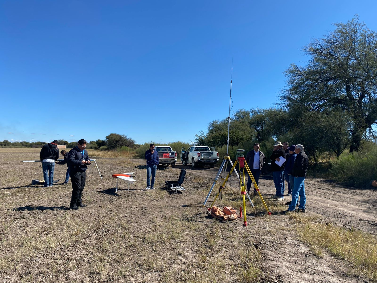
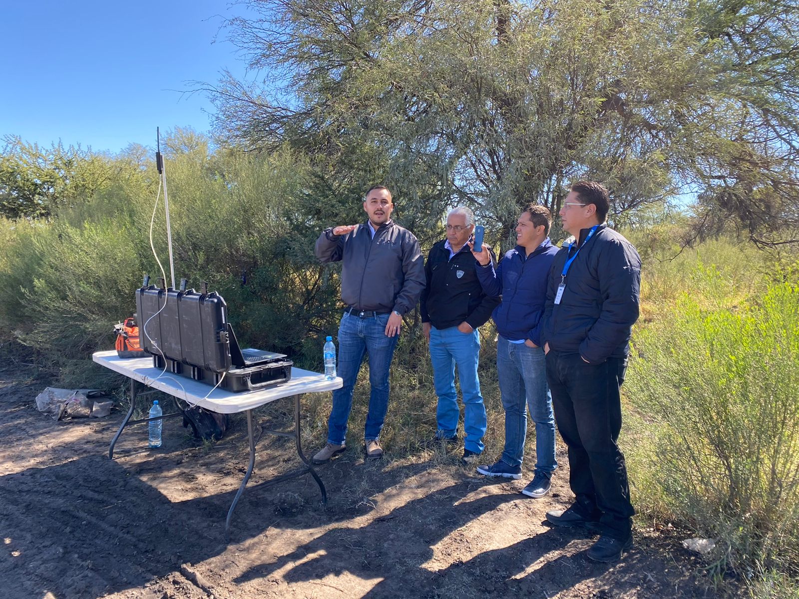
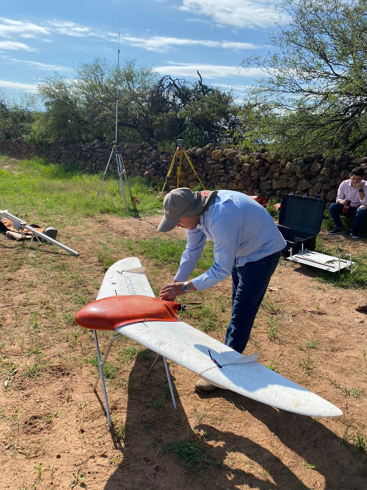
GlobalG specialists use Geoscan UAVs to map places of residence and arable areas. Orthomosaics built help to reveal real estate objects that are not listed in the cadastral register while DEM are used to calculate earthworks during construction. All the results are processed in the Agisoft Metashape Professional software.
From the perspective of GlobalG specialists, our vehicles has proved to be the best professional UAVs on the market. Also, the company points at sharp results which allow building orthomosaics without using horizontal and vertical control points.
According to GlobalG, among Geoscan UAV benefits are:
- considerable flight time;
- easy operation;
- perfect specifications of the camera with central shutter;
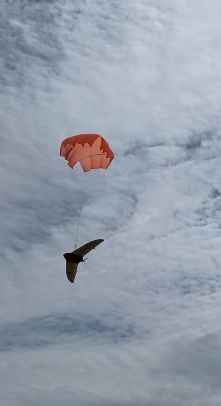
- safety system which, in the case of an emergency or operator error, throws out a parachute;
- battery lifespan;
- attentiveness of technical support workers.
Completed projects
For six years the company have completed many projects in the northwest of Mexico. Some of them are:
| Year | Place | Description |
| 2016 | state of Sinaloa | mapping 220 places of residence |
| irrigated farming area near Picachos Dam, Mazatlán | aerial survey of 28 000 ha for an irrigation project (canals and outfalls) | |
| 2017 | Durango City, state of Durango | 13 120 ha, scale 1:1000 |
| 2018 | municipalities in the state of Durango | 14 270 ha, scale 1:1000 |
| 2019 | municipalities in the state of Durango | 13 660 ha, scale 1:1000 |
| Culiacán | 17 080 ha, scale 1:1000 | |
| 2020 | municipalities in the state of Durango | 12 930 ha, scale 1:1000 |
| 2020-2021 | Culiacán | 28 980 ha, scale 1:1000 |
| 2021 | municipalities in Gómez Palacio, Lerdo, Vicente Guerrero and Durango City | 14 270 ha, scale 1:1000 |
These days, agreements are being prepared to start work in Tijuana, Baja California, and in the port of Mazatlán.