GEOSCAN Ltd. not only takes a leading position in the Russian market, but also actively develops and establishes international collaboration with the foreign companies.
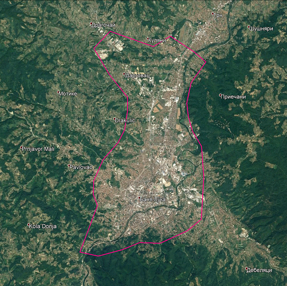
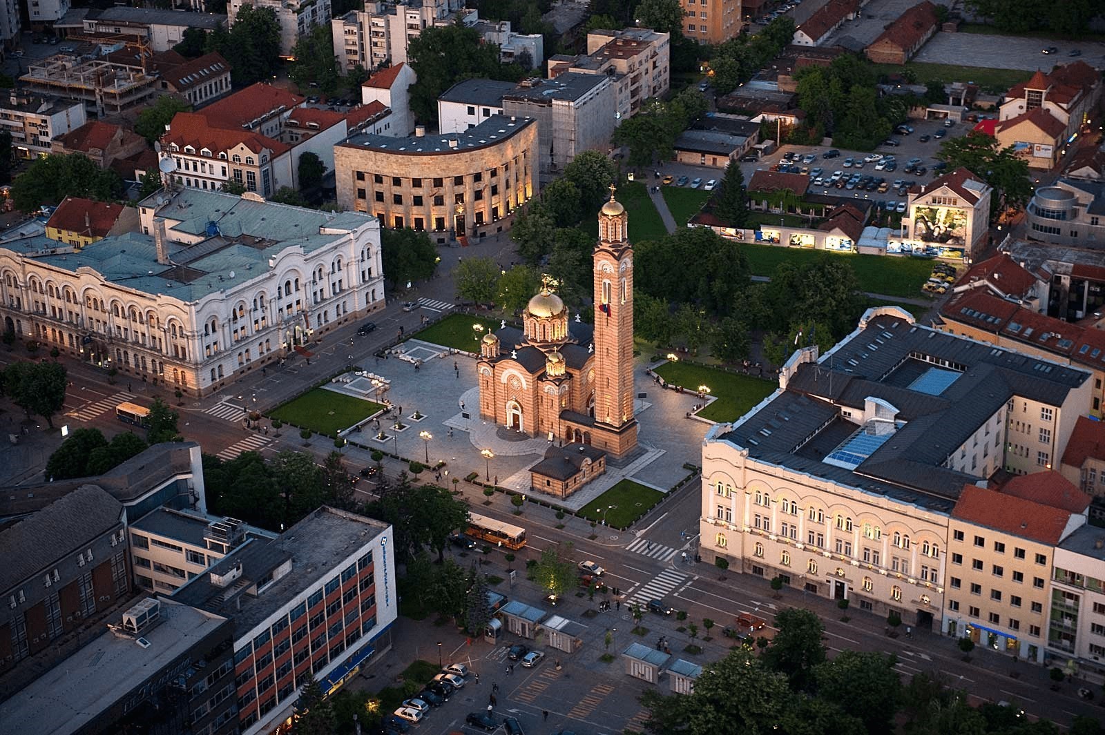
GEOSCAN Ltd. and its partners – InfoMap Ltd, Evromageomatika Ltd, have been invited by local authorities of Banja Luka to make a series of presentations to the local authorities and the city administration on the use of modern survey technologies and devise. As a part of presentation, we will carry out a pilot project - three-dimensional city model creation of the Banja Luka of the Republika Srpska in Bosnia and Herzegovina.
On 21st April, our specialists will visit Republika Srpska in Bosnia and Herzegovina to implement aerial photography. The total surveying area of city, Banja Luka is 50 sq. km. As a result, a number of the aerial photographs will be obtained. Aerial photography is a necessary part for creating of a 3D model of the city. By processing aerial survey data using our photogrammetric software Agisoft PhotoScan, we will create an orthomosaic at a scale of 1:500 and a highly detailed model, that will help the municipal administration.

3D model of the city - a modern tool for the urban development, the basis of "smart city". 3D models of the cities provide an opportunity for architects, urban planners, entrepreneurs, transport, housing and communal services to use high-precision data for their work. The publication of the 3D model on the geoportal will increase the investment and tourist attractiveness of the region.
More information about the project for creating a 3D model of the Banja Luka city is available at the city portal.
