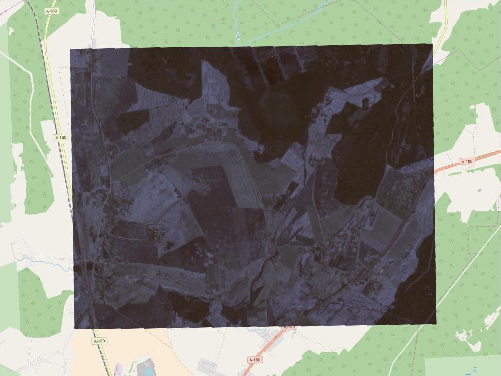
Now it is possible to open GeoTIFF files in GIS Sputnik.
To open the raster file of interest follow the instructions:
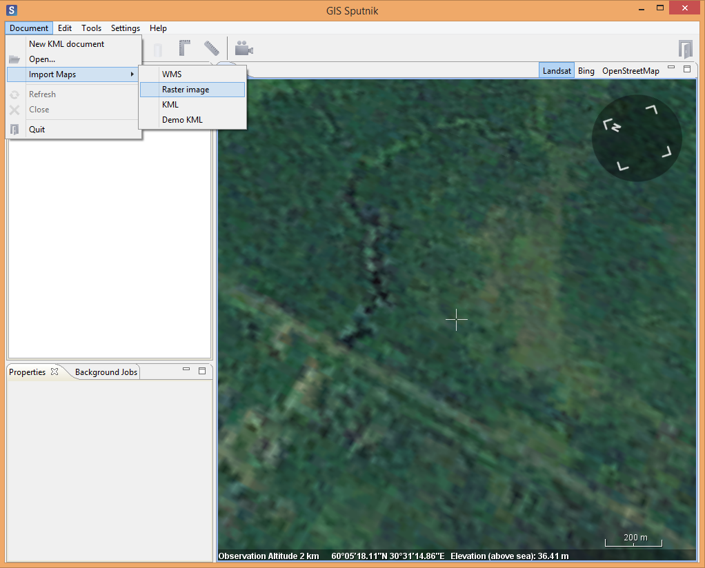
1. Select Document > Import Maps > Raster Image on the top panel

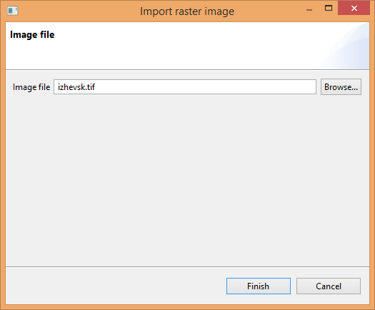
2. Select the raster of interest in the emersed window

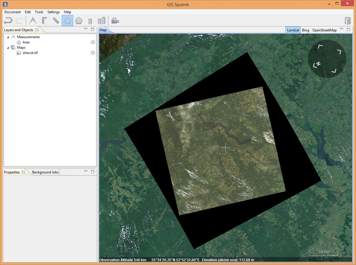
3. Selected file will automatically be shown in the Layers and Objects list and visualized in Map window

For better speed work with GeoTIFF files less than 500Mb, saved in WGS84 coordinate system.
If you have any questions, please send it to info@geoscan.aero
