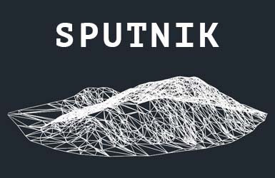
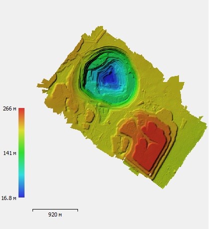
GIS Sputnik is used in mine surveying for the building of relief profiles and calculation of the volumes of cuts and fills. For calculation, digital elevation models are used, obtained from the results of aerial photographing performed by UAV and processing in Agisoft PhotoScan.
You can also read the article about volumes measurement from the referenced surface.
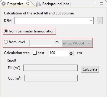
GIS Sputnik supports two models of volume calculation:
- From the triangulation of the reference surface (created automatically)
- From a given level above the WGS84 ellipsoid or above the sea level (defined by user)
Performing mining survey monitoring often requires the building of a reference surface, obtained from the results of instrumental surveys at the initial stage of mining operations. Such a surface contains information about the initial state of the terrain and is necessary for tracking the development dynamics.
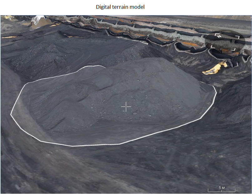

GIS Sputnik supports opporunity of building a reference surface with use of the Kriging-interpolation tool. The tool supports two models of surface construction:
- By the manually set points (elevations of specified digital surface model are used)
- By the points obtained as a result of instrumental observations (elevations of geodetic surveys are used)
The built surface can be exported using the "TIN relief model" tool to *.dxf format for further use in CAD systems.


For measuring the volumes from the reference surface, the "Volume Difference" tool is used in GIS Sputnik. The "Compute Polygons" tool allows you to automatically determine the boundaries of fills and cuts, the boundaries can be exported to *.dxf for use in CAD systems.


Learn more about GIS Sputnik opportinties by the link
More information on application of GIS Sputnik is available by the link
