Geoscan Survey department have been working hard in 2017: more than 3 800 flights, 10 000 hours in the air, over 500 000 km flown. In 90% of cases we’ve used Geoscan 201 because it provides 3 hours of flight time and is capable of carrying 2 cameras at the same time. This configuration gives the performance of 16 km2 per flight.
Statistical analysis of more than 3000 flights allowed our engineers to find elements and systems of Geoscan 201 which could be improved to make it more reliable and convenient to use at the same time.
Here is the list of improvements:
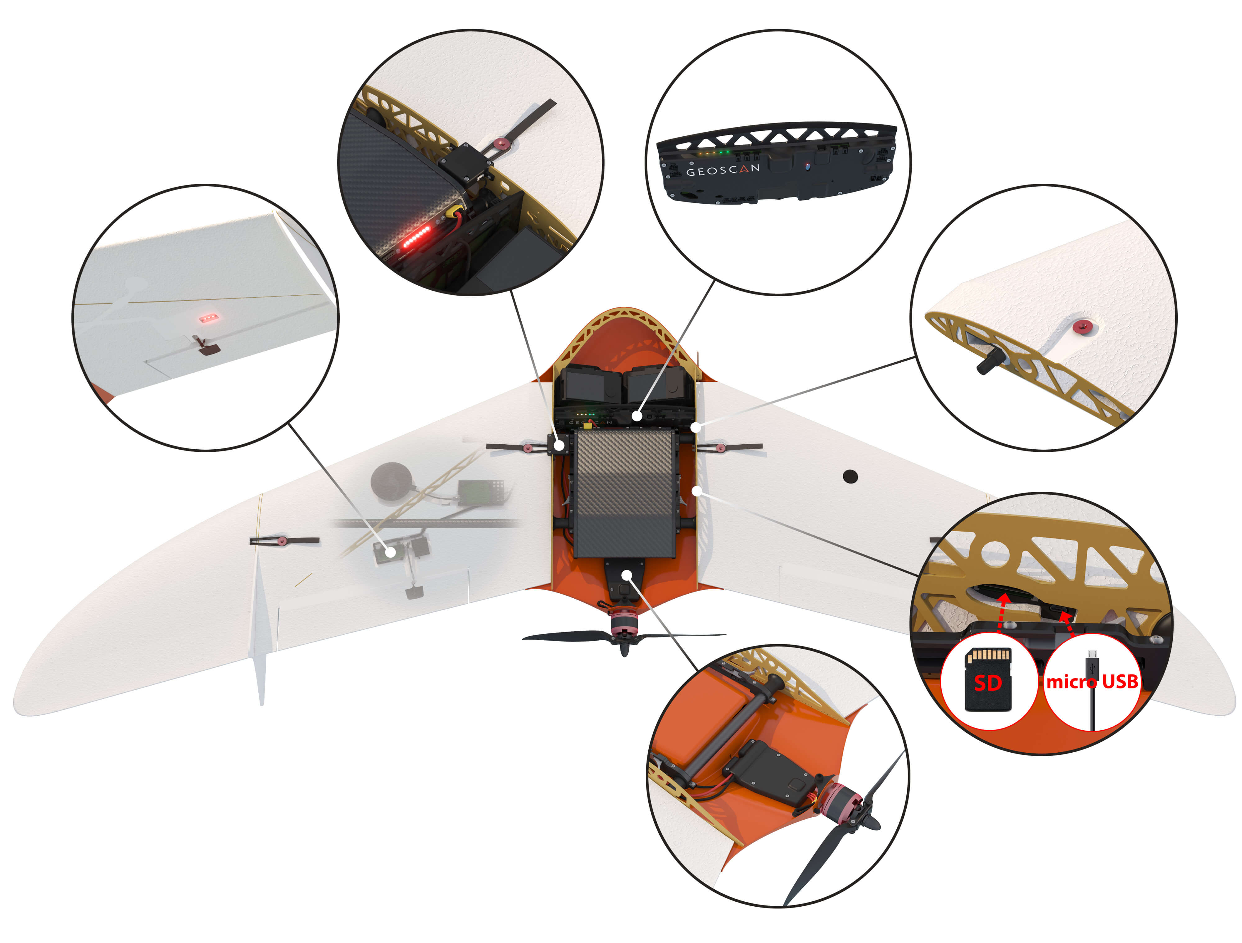
- To prevent any possible malfunctions during the flight, we added:
- Ambient air temperature sensor, to identify the risk of icing;
- IMU and air speed sensor insulation for a rock-solid flight in any weather;
- A reliable CAN bus for avionics and payload connection, for reducing the impact of external electromagnetic interference;
- New avionics data exchange protocol, for full control over all devices and systems operation;
- Autonomous Failsafe system, which will open the parachute even in case of main power failure
- We improved the avionics diagnostic procedure at turn on. Operator no longer has to run Ground Control Station - the autopilot now shows UAV status when the battery is connected.
- We made our own speed regulator (ESC) for the engine. It allows more efficient control over ESC operation modes, depending on the flight conditions.
- High-precision GNSS receiver antenna is now connected using HF SMA connector, which guarantees a more reliable connection.
- Using memory card is now handier – we switched to SD card format instead of micro SD, thus you don’t need any adapters for flight logs transferring.
- Preflight check is now simpler. Thanks to the introduction of the servo feedback, the autopilot now checks the elevons operation automatically.
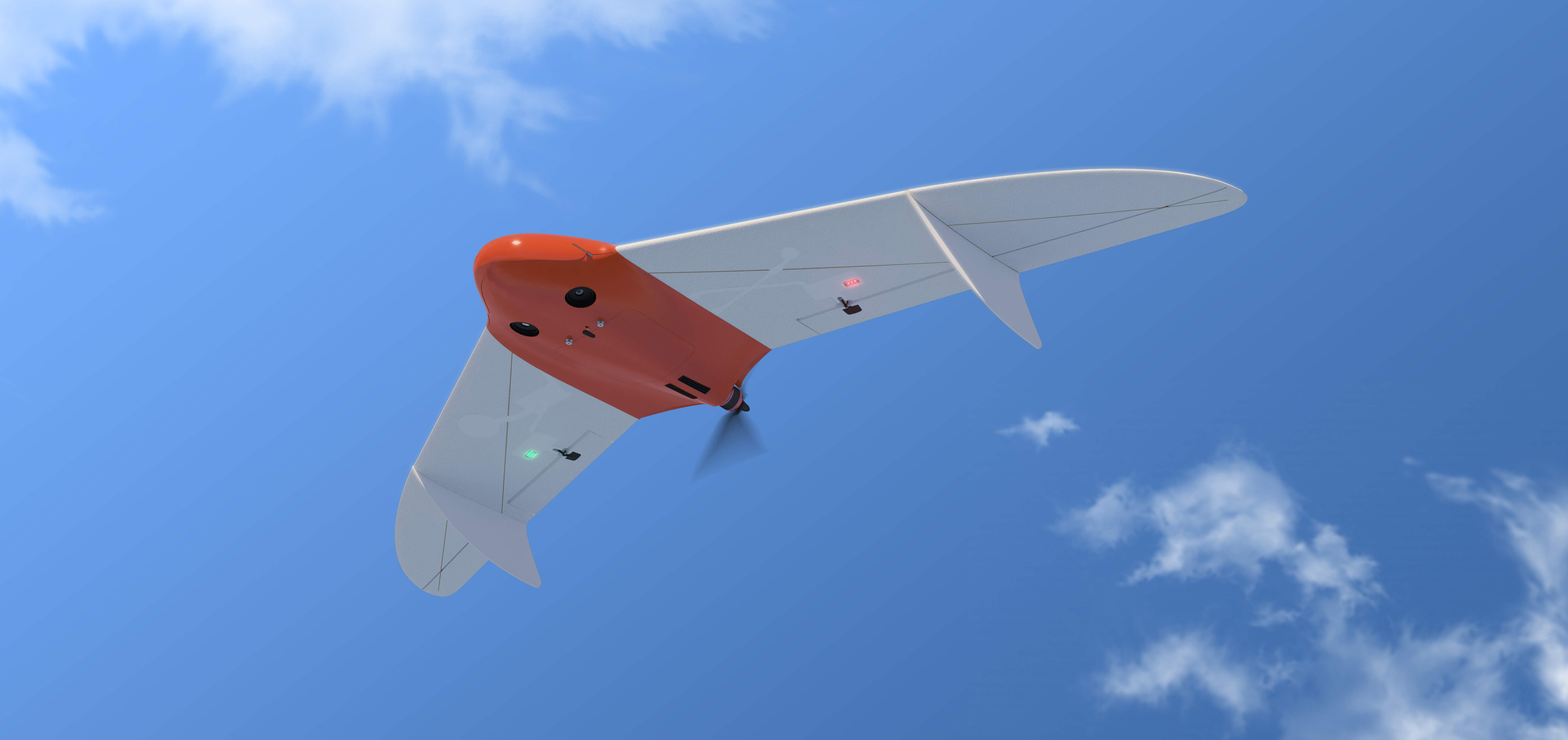
- We installed navigation lights into wings. If the landing occurs at dusk or in case of limited visibility, it is easy for the operator to find the UAV both in the air and on the ground after landing.


