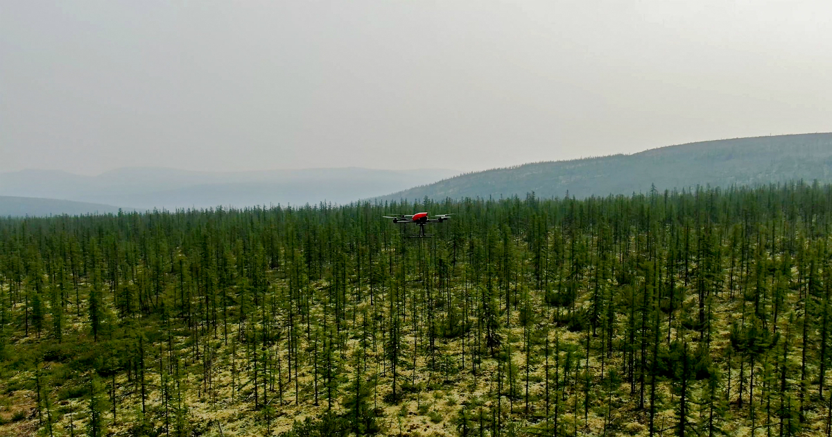
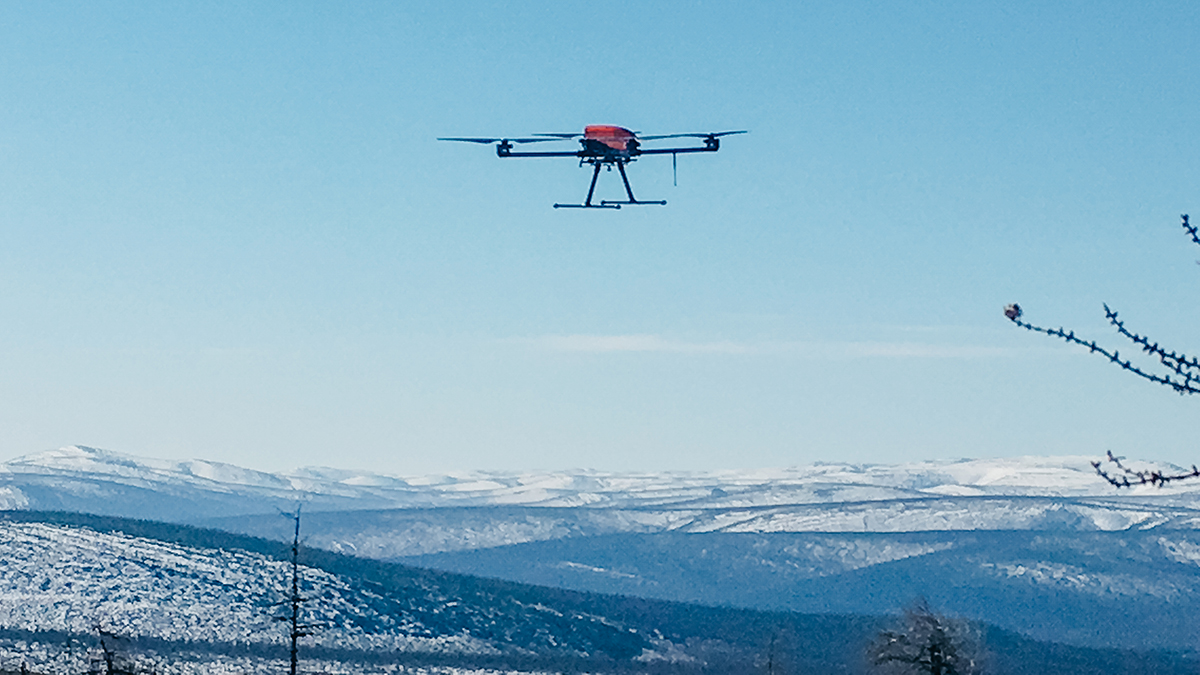
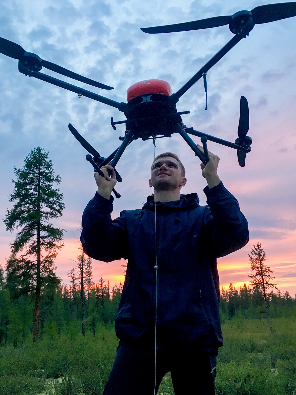
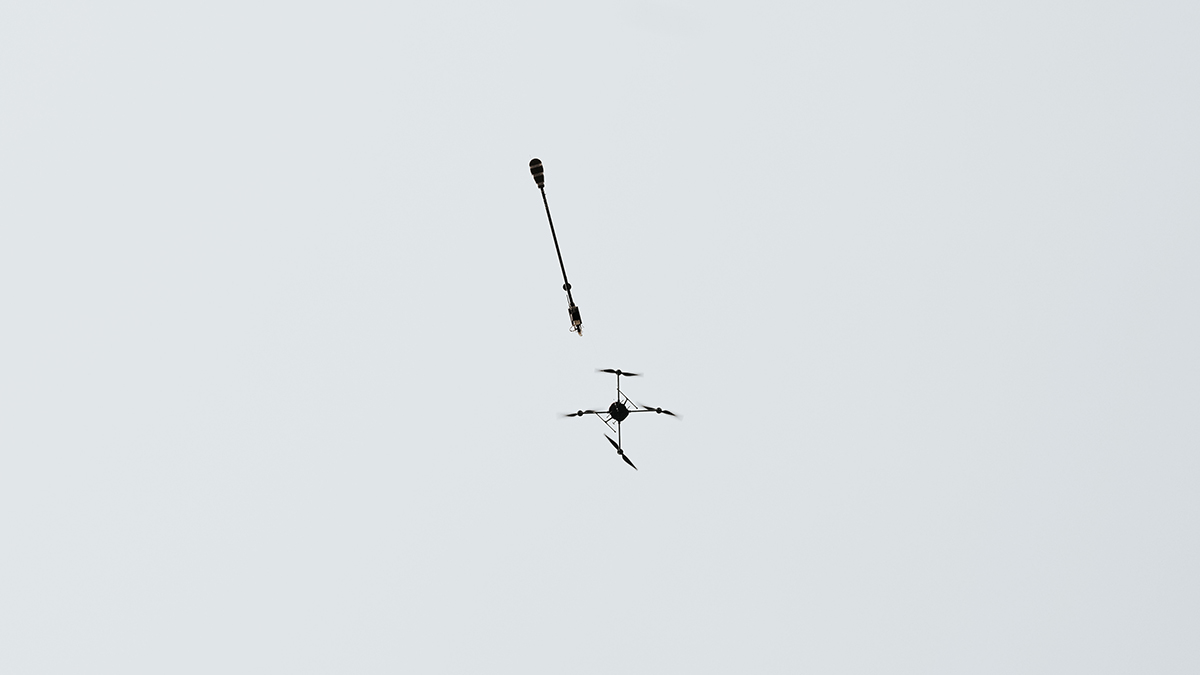
We are glad to inform you that we have completed UAV-based mineral exploration of a Siberian deposit. The project has become the largest due to the amount of the aeromagnetic survey.
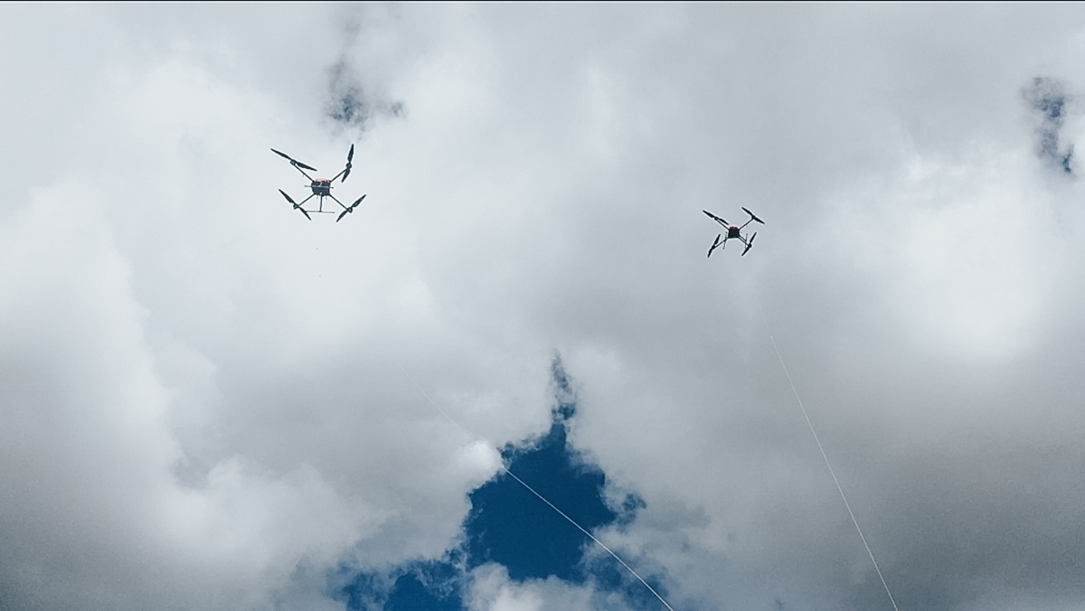
During the surveying season Geoscan specialists managed to cover more than 125 000 ha. The total length of UAV missions was more than 12 000 km. Precise and well-coordinated work of the pilots as well as equipment reliability contributed into the coverage of such a huge territory. Before surveying, the land was divided into 66 sites, and it took four days to build more than 1200 flight missions with terrain following. During the project, the survey productivity indicator was once again beaten: now it is 30 flights and 300 linear kilometers per day.
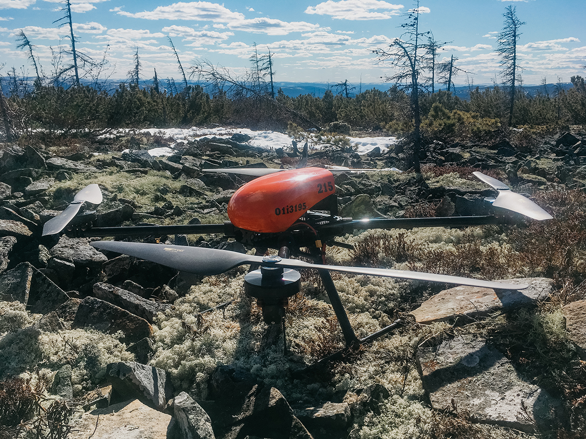
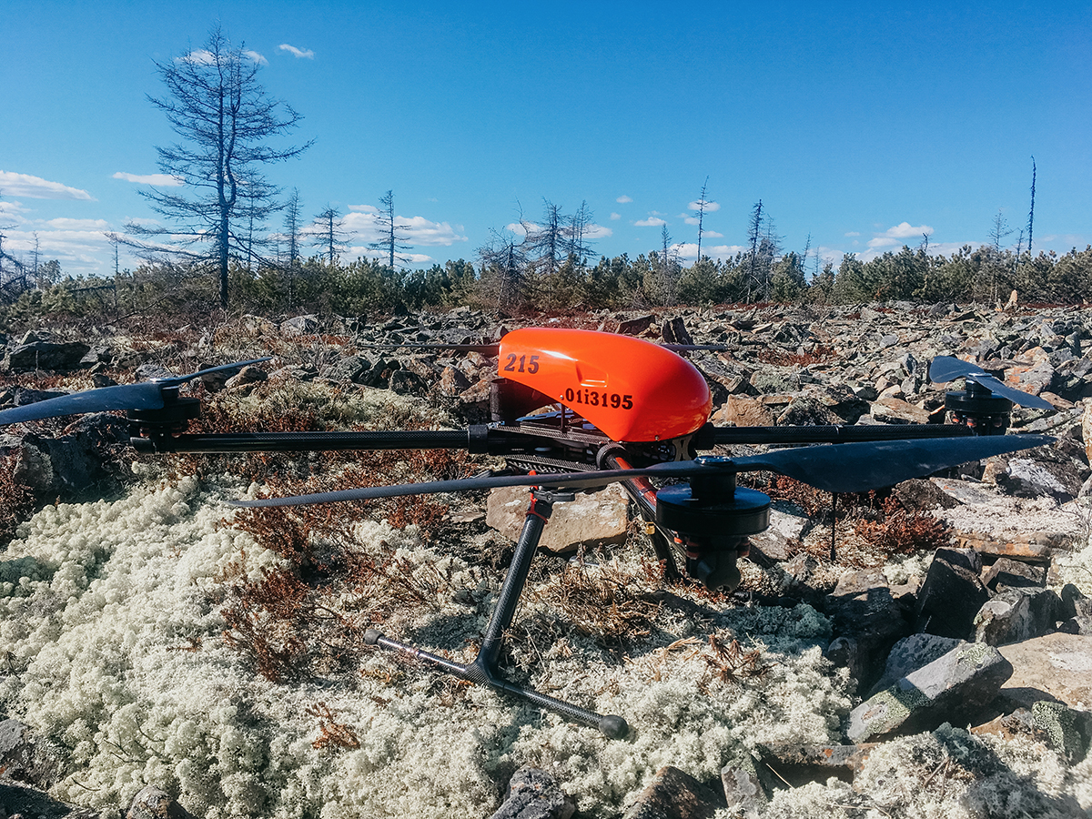
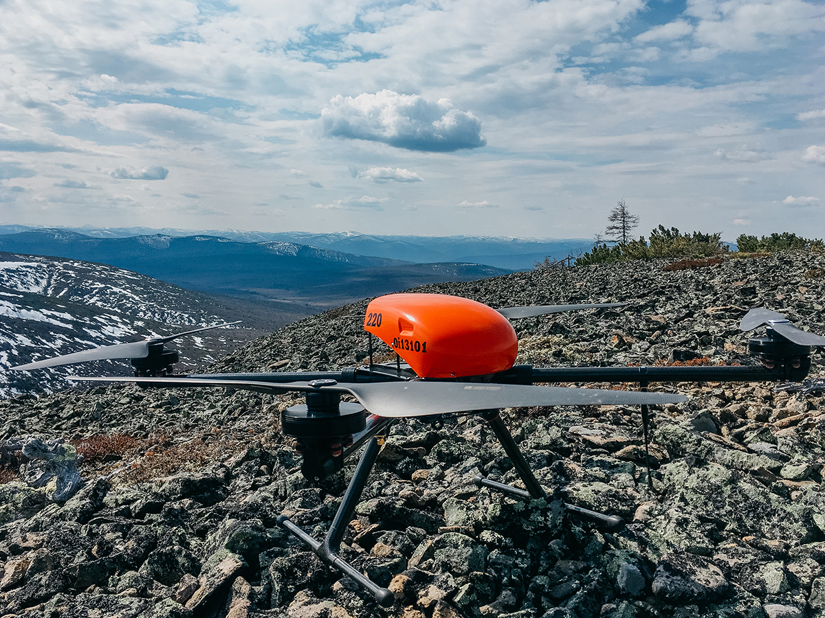
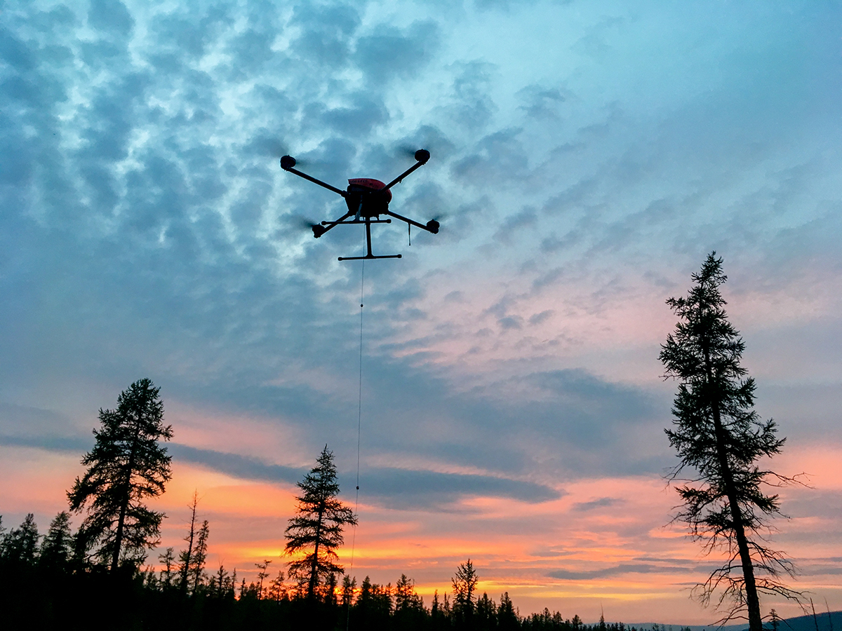
It was impossible to survey this deposit with manned aviation as it is distant from airports and has a heterogeneous relief. It might take years to survey this territory on foot. The use of Geoscan 401 Geophysics, which flies at low altitude and follows terrain, allowed us to collect data in record time. The root-mean-square deviation of the magnetometric data for the project at the level of 1.5 nT enables us to speak about the high accuracy of the results.
Earlier Geoscan equipment helped to survey deposits in Russia, Kazakhstan, and some other far abroad countries. The results of UAV-based magnetic survey speak for themselves. Project in an iron-ore deposit in Siberia can serve as a perfect illustration—more than 300M tons of iron-ore worth of 1 trillion rubles were explored.
The latest demonstration of Geoscan systems at PDAC, Toronto showed that technology of UAV-based magnetic survey is in high demand around the world.
