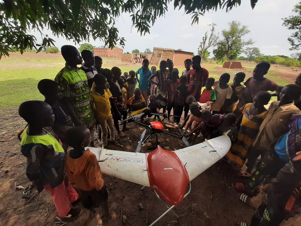
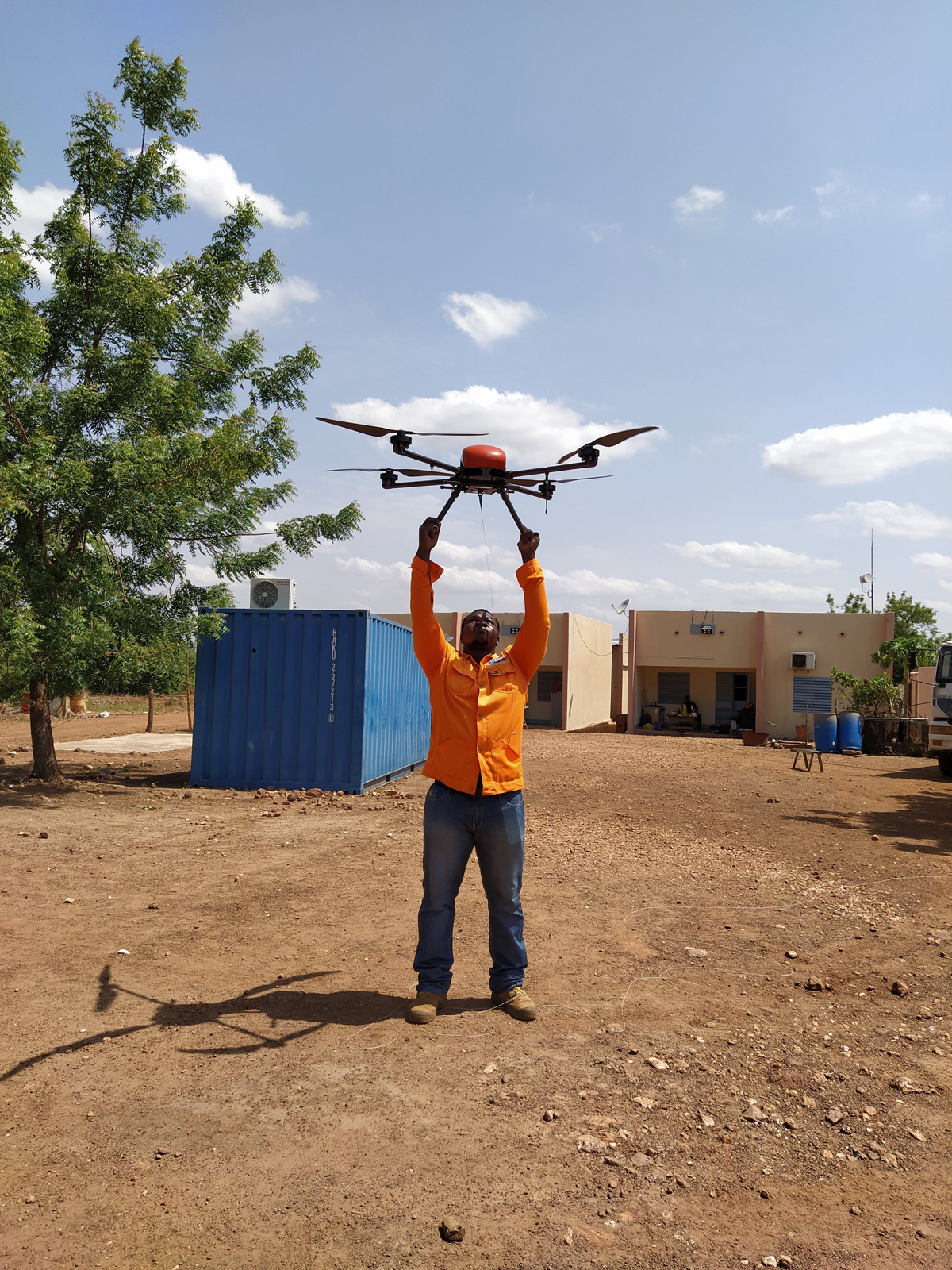
In June Geoscan geophysicists completed aerial photography and UAV aeromagnetic survey in Burkina Faso at the request of the gold mining company Salma International Sarl. The project geography covered northern and southern territories of the country, and the amount of work was 2 956 linear kilometres.
Burkina Faso is in the Top 10 African countries for gold mining. Salma International Sarl is a major player in this sphere, and it is focused on development. Today, the company management is committed to implementing modern technologies.
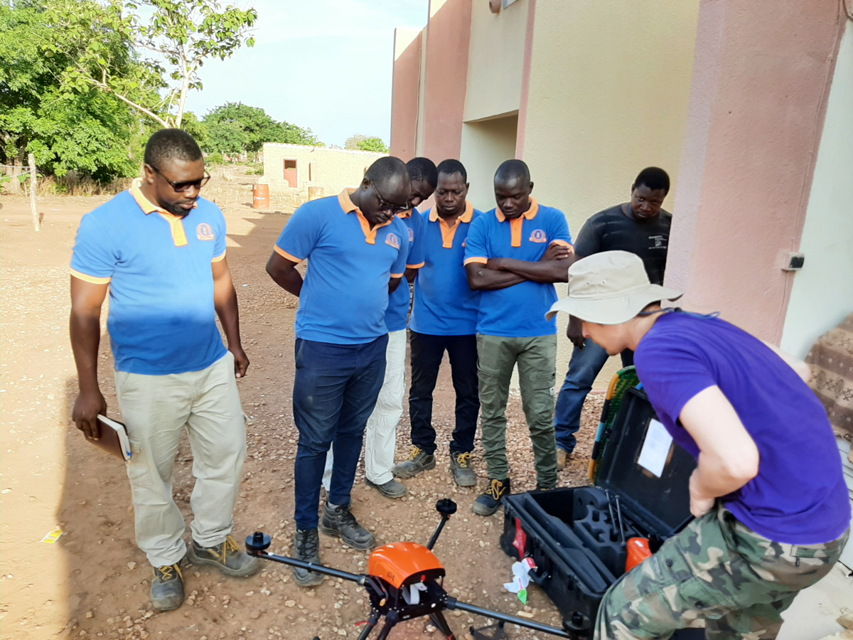
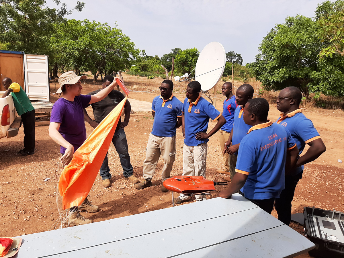
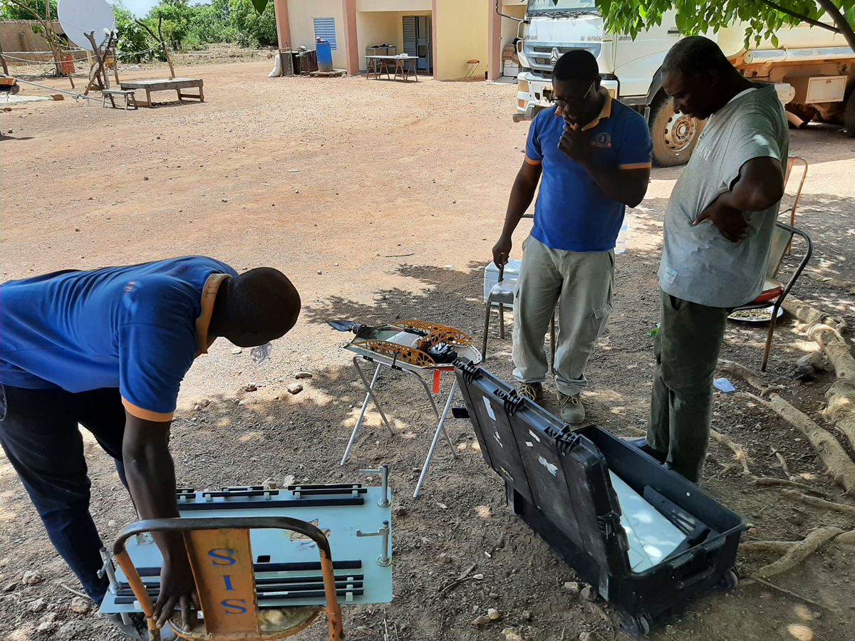
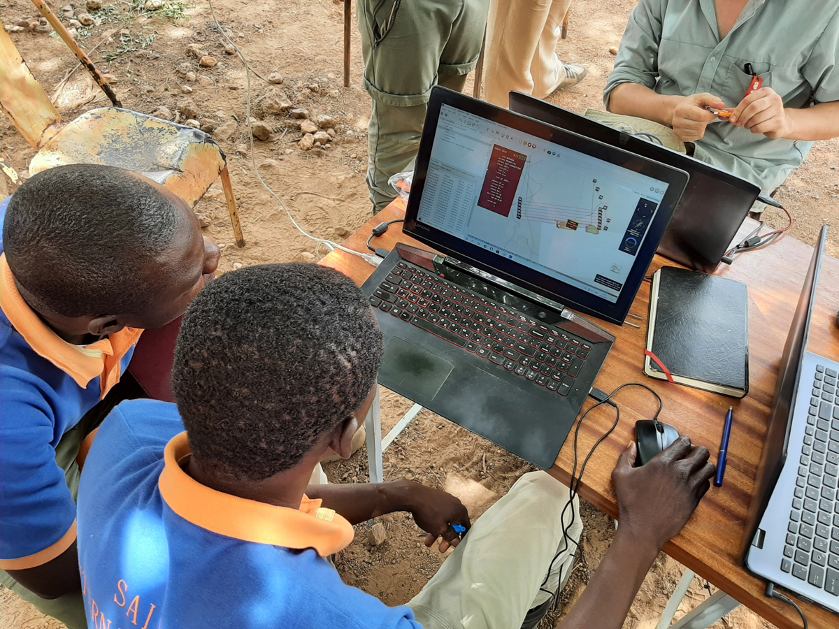
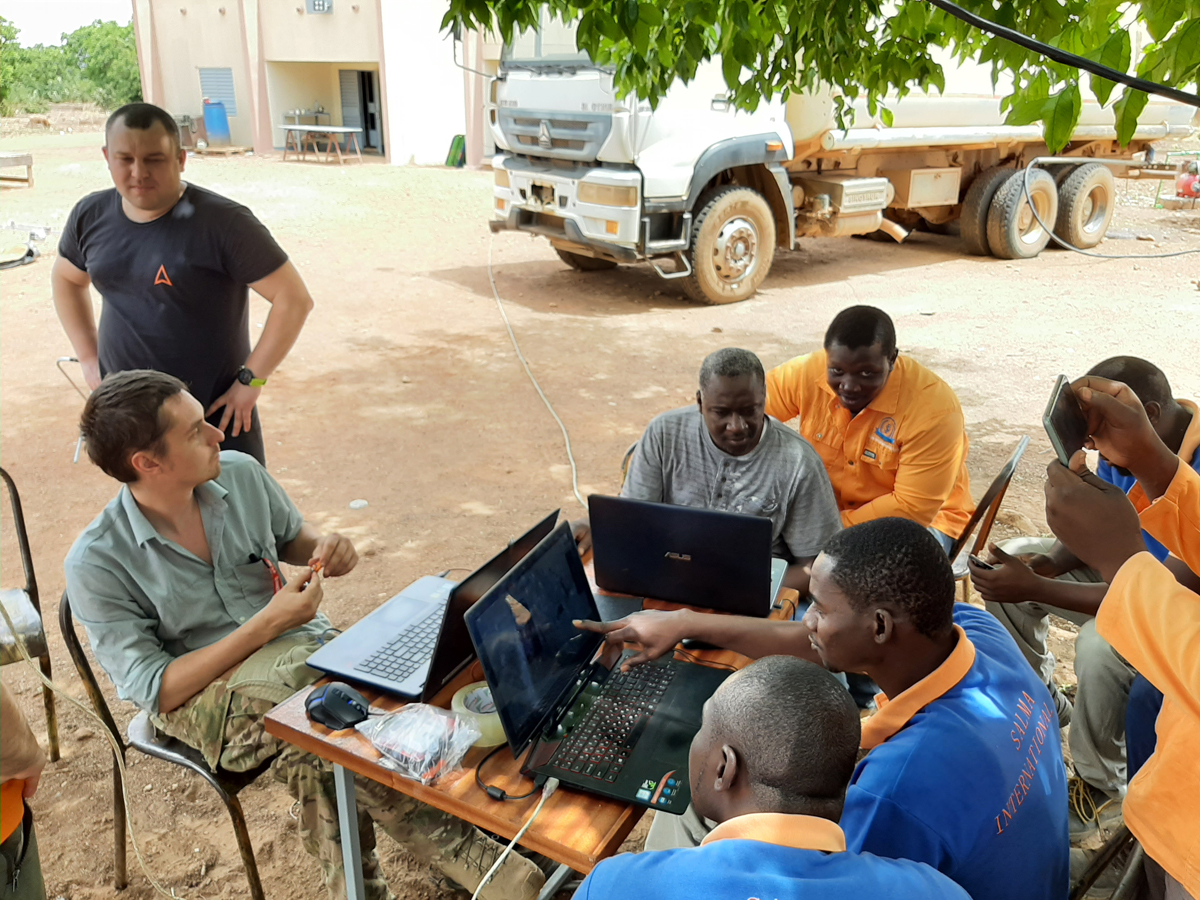
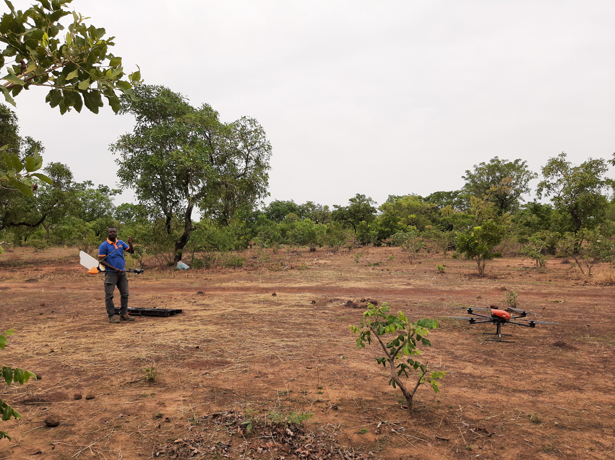
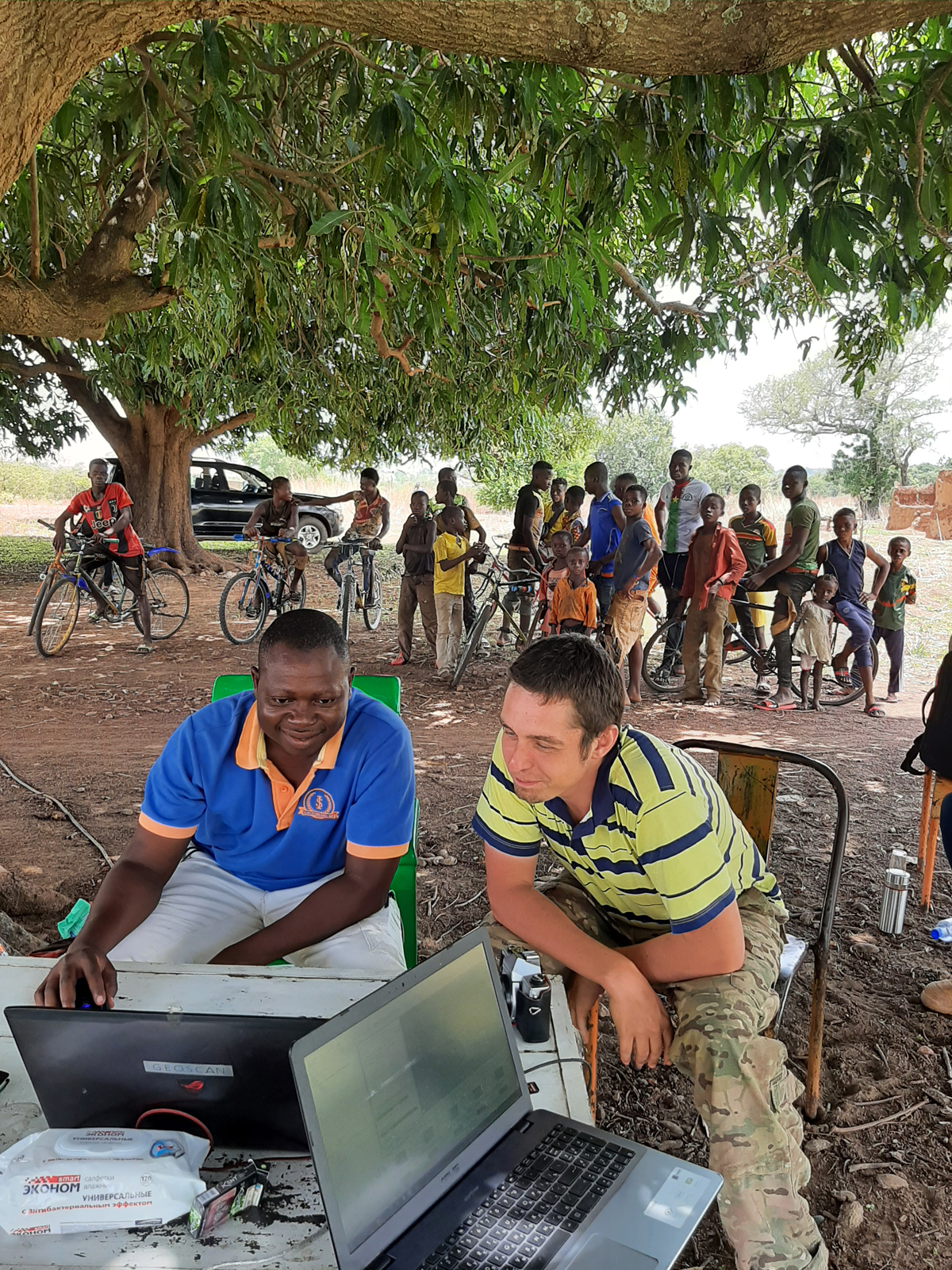
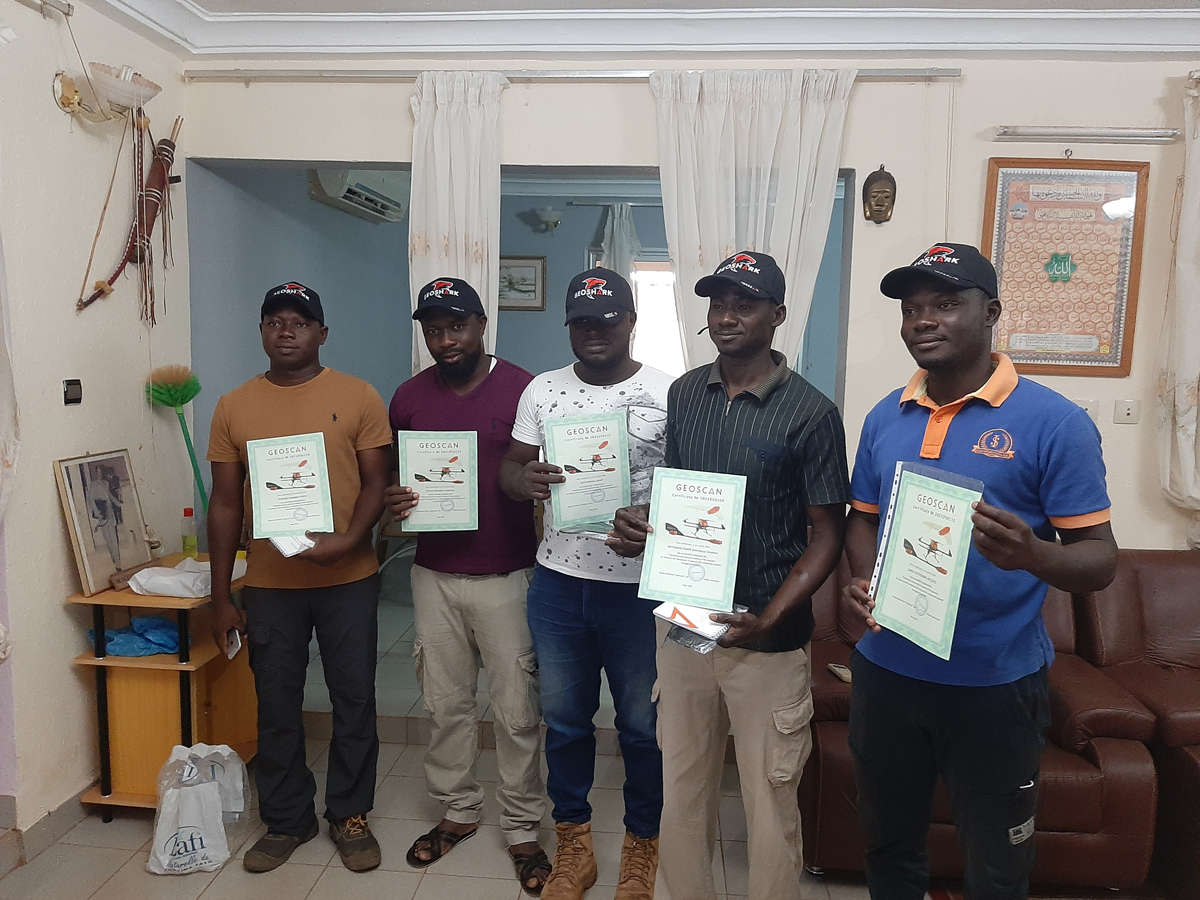
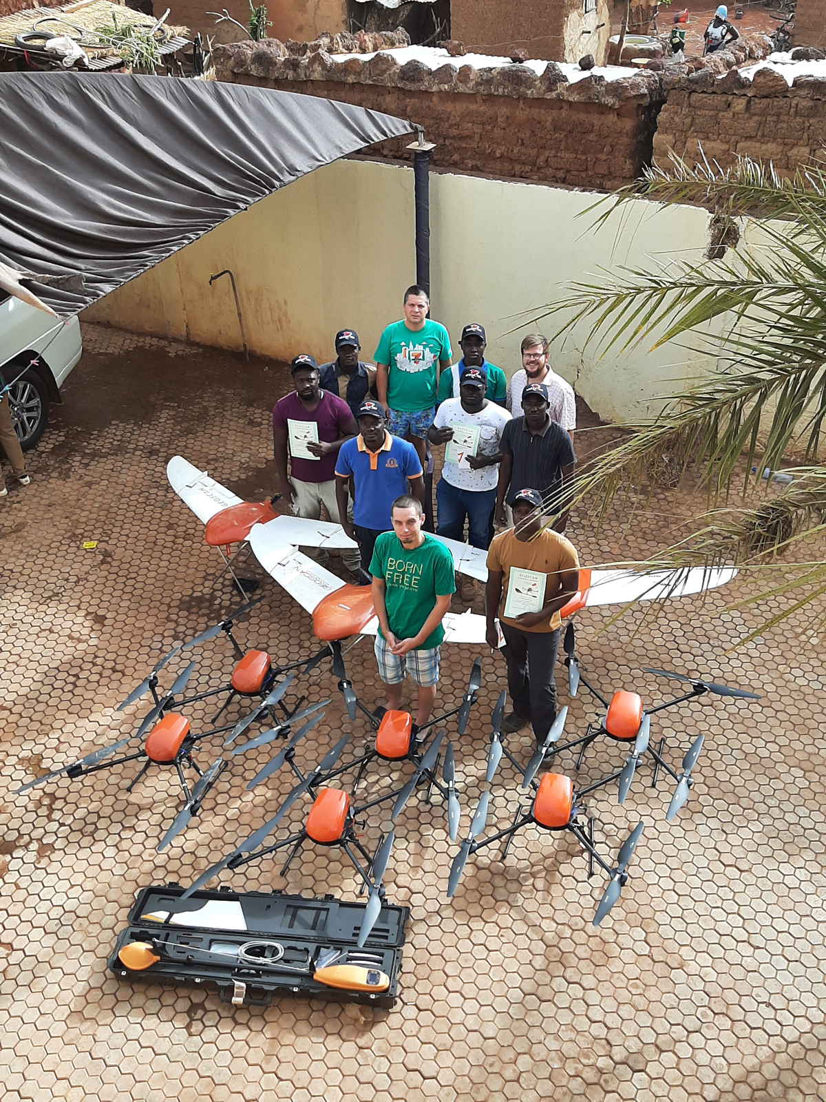
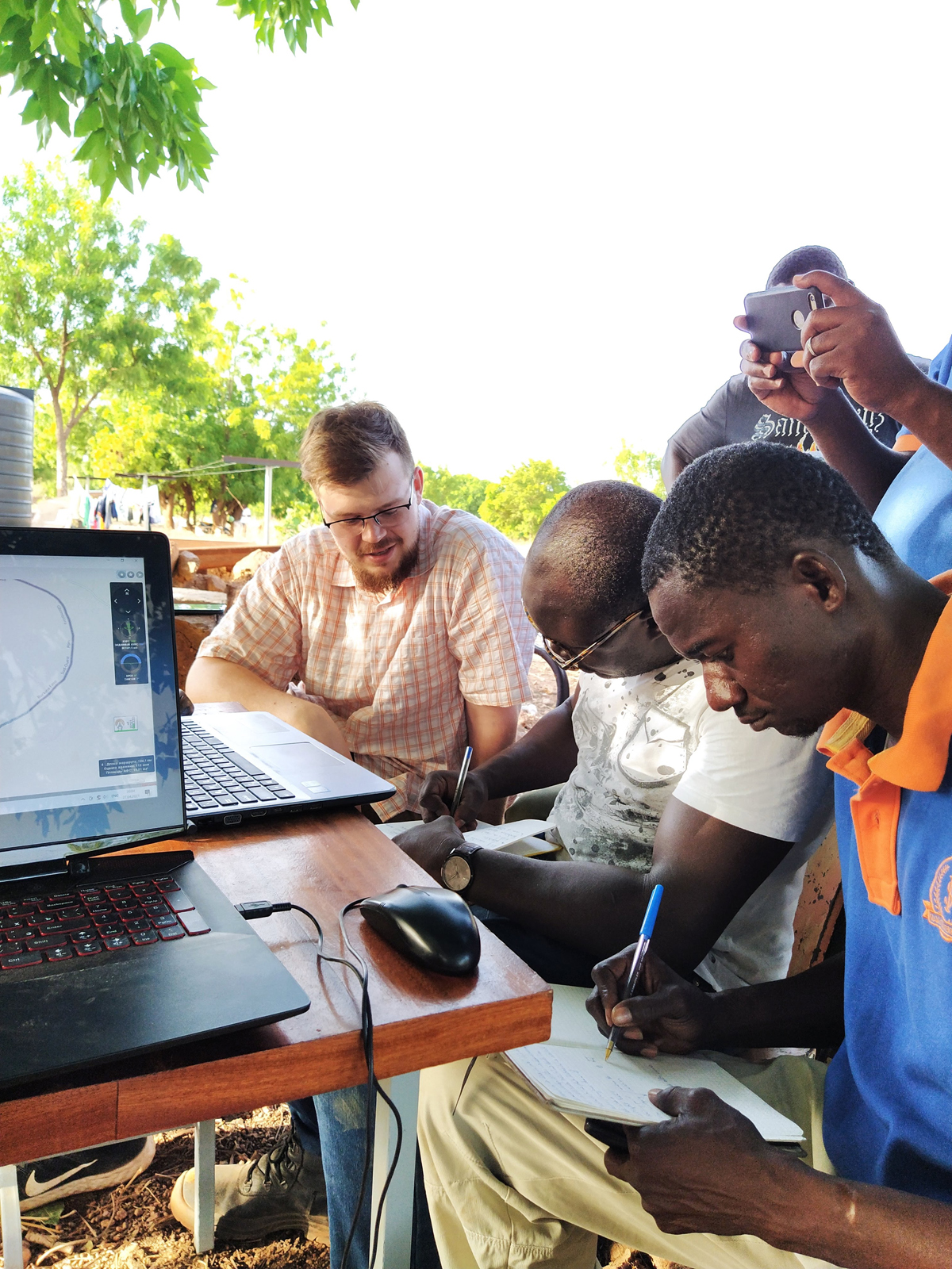
The company from Burkina Faso first learned about Geoscan at PDAC 2020 where we were introducing the quadcopter Geoscan 401, the magnetometer GeoShark and the compact drone Gemini. After several months Salma International Sarl contacted us because they had decided to make use of our services for aerial photography and UAV aeromagnetic survey and to purchase at the same time two UAVs (Geoscan 201 and Geoscan 401) and the magnetometer GeoShark. It was agreed that our specialists would instruct their engineers in all aspects of the complete work cycle: from assembling equipment and performing practical flights with the magnetometer to data analysis in Agisoft Metashape Pro.
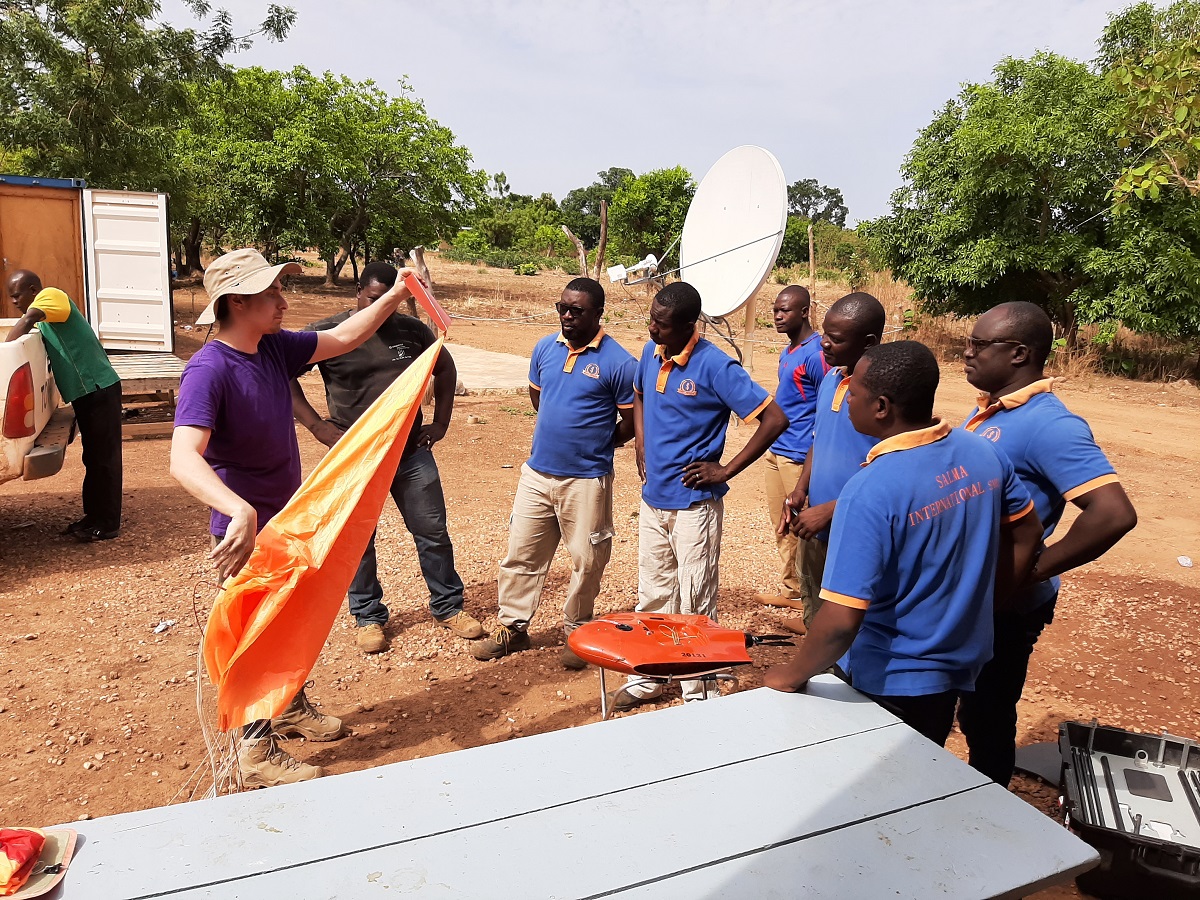
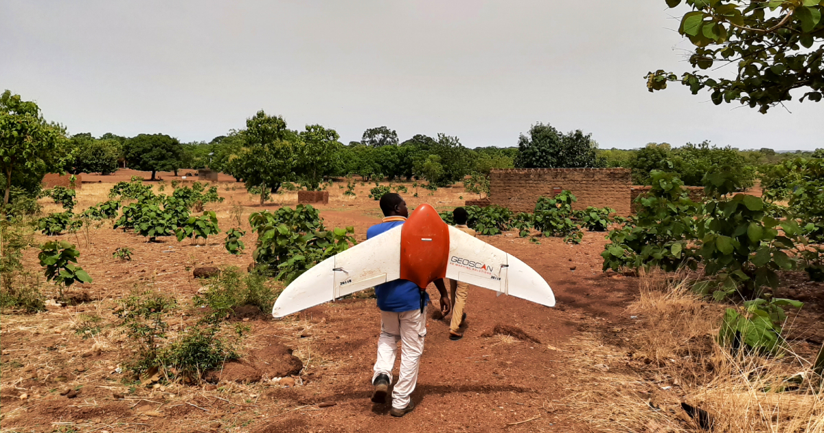
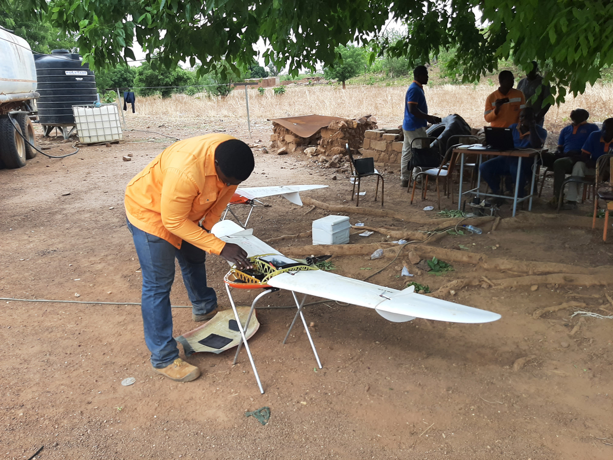
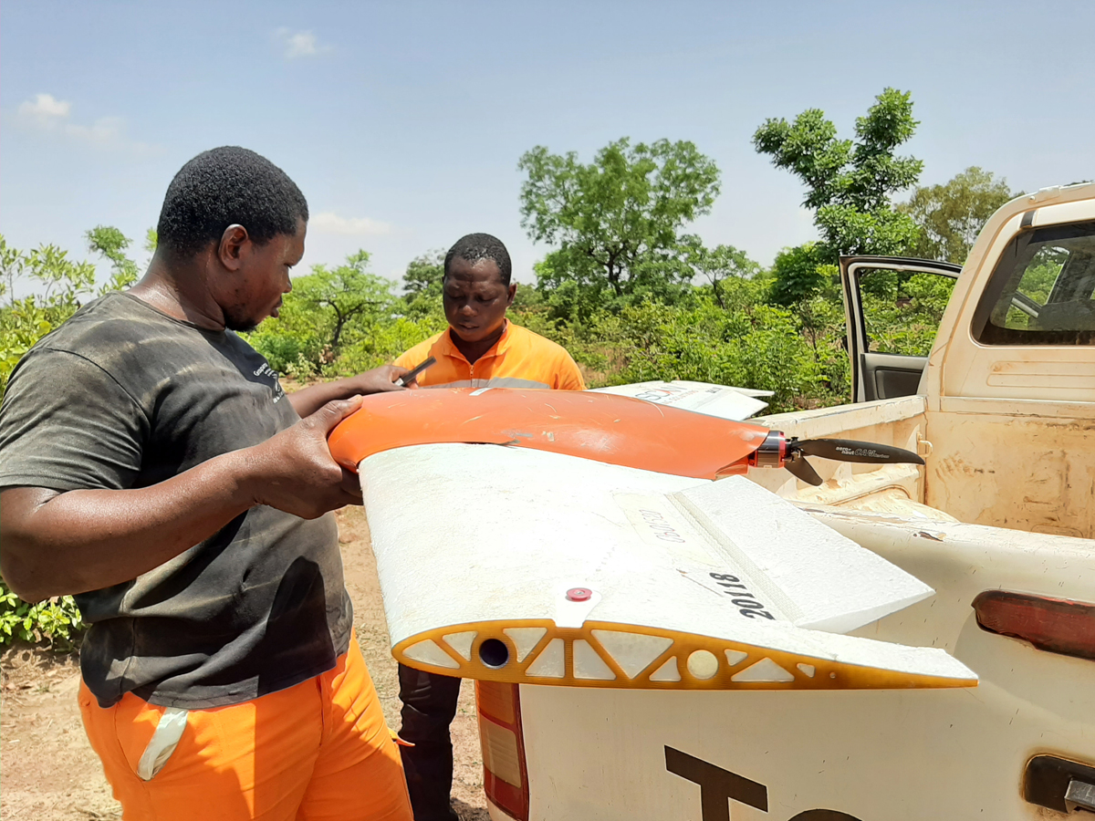
First, we had to carry out an aerial photography, followed by aeromagnetic survey. The first procedure was necessary in order to compose a digital terrain model that would then enable the UAV with its attached magnetometer to provide an accurate overview of the ground surface. Geoscan 201 was responsible for this stage as it is capable of surveying a large area in a single flight.
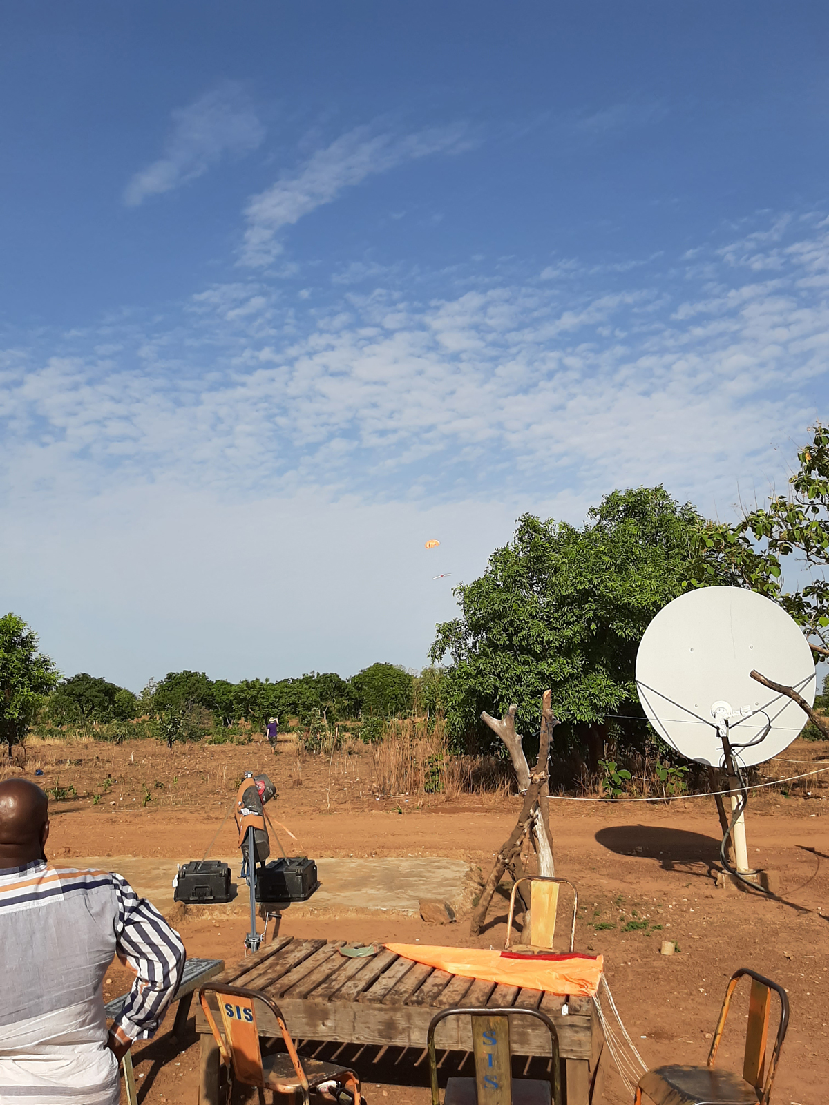
The aerial photography was followed by aeromagnetic survey using Geoscan 401 Geophysics, the data from which were first processed in Burkina Faso and then in St. Petersburg, Russia. Magnetic anomaly maps were composed at this stage.
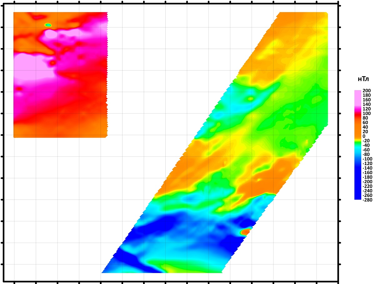
Image: magnetic anomaly map
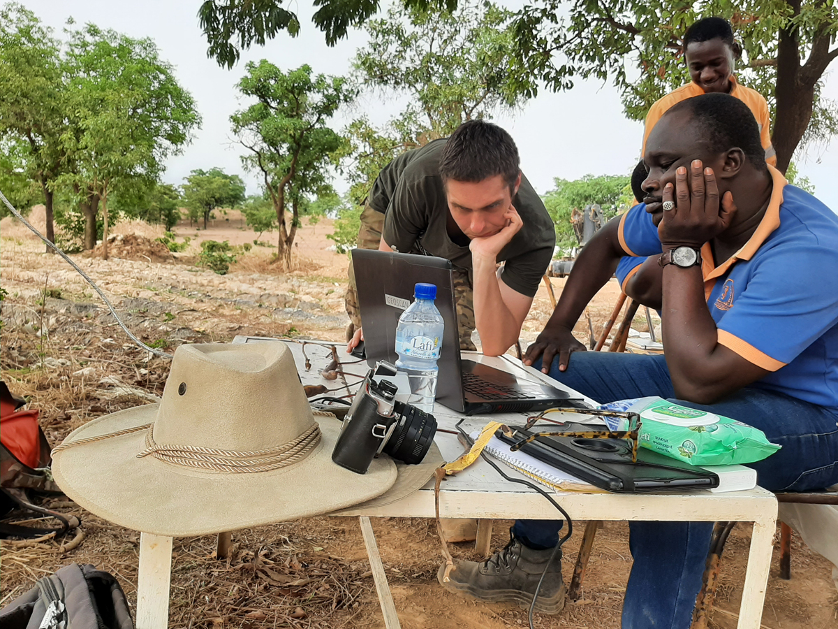
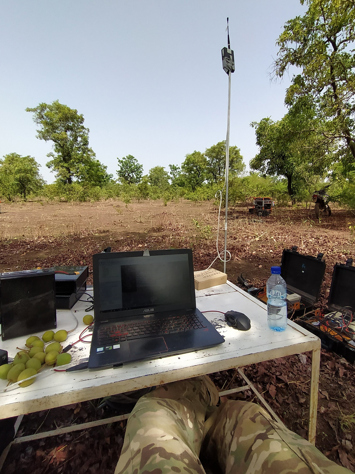
In Burkina Faso the temperature reached +45 С° in the shade. Initially our specialists worked from 8 to 11 am and from 3 pm to sunset, in keeping with the schedule of the local engineers. In time, as acclimatization took place, the team began to work without breaks, from 6 am to sunset, changing the working hours of their African colleagues as well. Not everyone successfully adapted to the heat: our specialists‘ laptops sometimes stopped working because of overheating. Our UAVs, on the other hand, continued surveying, a proof of their reliability.
This project has clearly demonstrated how much time can be saved through the application of modern unmanned technologies. On-foot magnetic survey is characterized by high accuracy, but it is dramatically unmatched in productivity by comparison with aeromagnetic survey by UAV. When weather conditions are extreme, with the temperature soaring above 50 С°, the use of traditional methods makes it almost impossible to perform this type of work. It is certainly true that in this sort of weather it is more pleasant to sit with a laptop in the shade, following the flight of a UAV and the data it provides than to walk about carrying a magnetometer on the shoulder. Not only is it more pleasant, it is also more effective.
