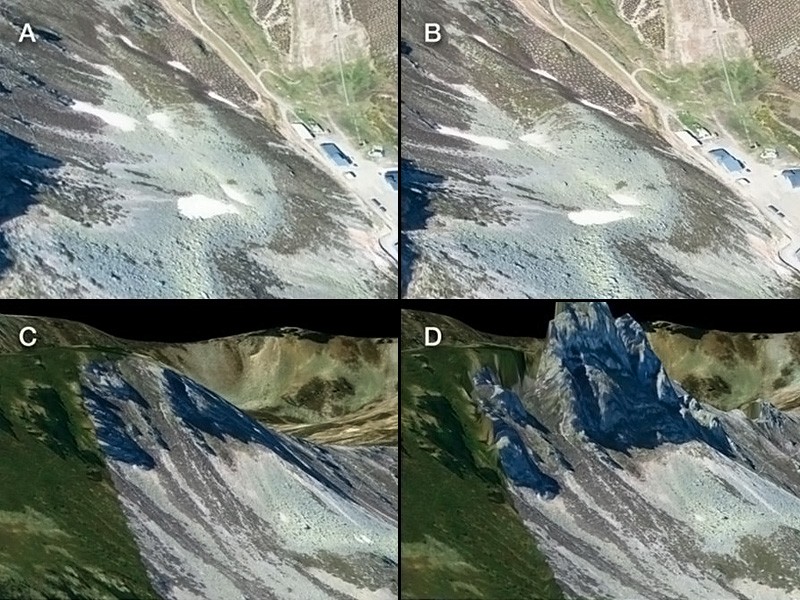
Specialists of the University of Santiago de Compostela compared virtual globes for UAV-based data integration: Sputnik GIS and Google Earth™. In this study, the best virtual globe software for the dissemination and analysis of high resolution UAV data is identified for global and continuous geographic scope support.
Results of the study illustrated that Sputnik GIS is tailored more for professional users and provides analysis tools expected from traditional GIS, allowing DEM integration and overlapping, comprehensive analysis and more.
To get acquainted with the results of the study in Taylor&Francis Online journal follow the link: https://doi.org/10.1080/17538947.2018.1470205
