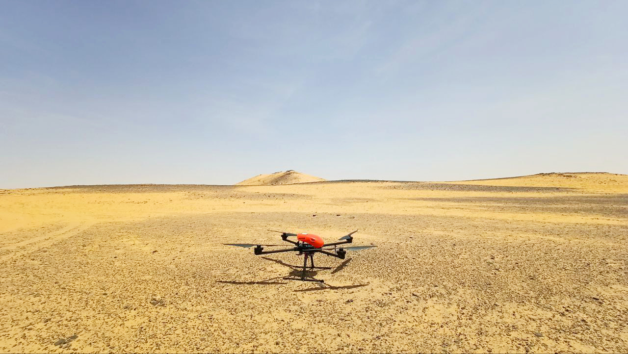
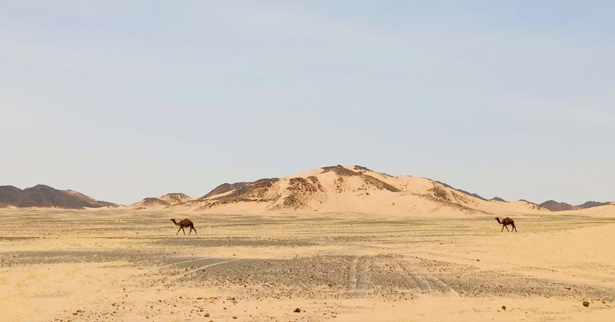
Last year, our specialists performed demonstration flights over a small area in Saudi Arabia. The data obtained perfectly matched the results of earlier ground-based exploration, effectively showcasing the efficiency of magnetic surveying with UAVs — at reduced labor and cost. As a result, we were invited back to survey the entire licensed area of a local gold mining company.
Over six working days, a total of 155 square kilometers of area were covered with aeromagnetic survey using the Geoscan 401 Geophysics system, our specialists covering approximately 100 linear kilometers each day. Flights were conducted at an altitude of 35 meters above ground, utilizing four takeoff points: one within an established camp and three others in the middle of the desert. Just like the previous time, the work was made challenging by high temperatures of up to +48°C, sudden sandstorms, and strong winds ranging from 10 to 12 m/s with gusts up to 15 m/s, which repeatedly caught the drone mid-flight. Despite the harsh weather conditions, the equipment operated seamlessly, and all tasks were completed on time.
“We were glad to resume our collaboration with the client, helping them efficiently and quickly survey sites that had been left idle due to the difficulty and cost of ground-based surveys. This time, we faced an especially challenging season: during the day, we battled strong wind gusts, while in the evenings, even though the winds would calm, sandstorms would prevent us from working: in the darkness, it was impossible to predict their approach. A ‘shower’ of hot sand, with gusts reaching up to 22 m/s, could easily have resulted in equipment loss. Thankfully, our drone avoided any storms (once we even managed to land it just 30 seconds before one hit!). Our UAV handled both the wind and the heat excellently, once again proving its reliability. We are confident that the aeromagnetic survey data we’ve collected will help the company save time and money in locating gold deposits and with subsequent mining efforts,” said Dmitry Goglev, Head of Geophysics at Geoscan.
The data has already been validated by the client's supervisors as fully compliant with international standards and is now undergoing detailed processing at Geoscan’s office. In the future, the materials will be presented to an international scientific and technical commission, which will review the results and decide on further surveys of two additional sites for the same company. All the necessary equipment for this mission, including four Geoscan 401 units, two quantum magnetometers, a variation station, batteries, and dual-channel charging stations — is stored in Riyadh, ready for the next successful flight.

