To solve problems of classification and analysis of the data, machine learning methods are widely used, combining a variety of approaches, including statistics, probability theory and computational optimization. One of the directions of using such technologies is the interpretation of objects in images.
There are many algorithms and specialized software capable of classifying remote sensing data. However, most of these methods, in one way or another, are related to the processing of images obtained with the help of multispectral sensors. When working with such materials, the classification problem is greatly facilitated by the spectral information on reflection. Taking into account that conventional cameras, which are commonly used to reduce the cost and to optimize of aerial photography performed by unmanned aerial vehicles, are unable to perform multispectral survey, many existing methods of classification can not be effectively used. For this reason, it is preferable to use machine learning methods to solve the problem of classification of forested parts of the terrain from photos in the visible range.
In this case, the "random forest" method was chosen. This method is quite universal and can be used for multi-class classification. The task of classification of forested areas is proposed to be solved with the help of QGIS free software and the algorithms library Orfeo Toolbox, with help of which the required methods of machine learning are implemented.
The general scheme of the proposed treatment method is as follows:
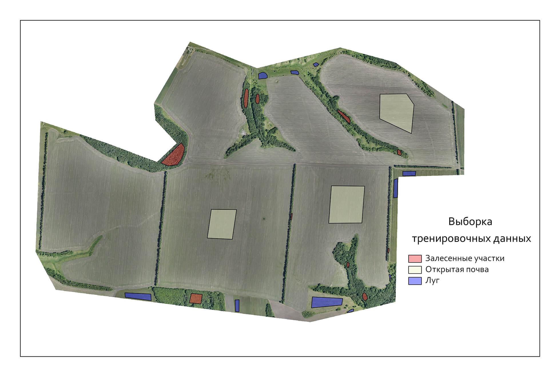
- Collection and preparation of the test data (fig. 1). At this stage it is needed to create a selection of the main surface types depicted on the orthophoto (forest, meadow, open soil, etc.);
- Classification of training data - the creation of a model (tree). This model can be used in purposes of classifying a multitude of other orthophotos provided that similarities of the depicted natural objects are preserved on them.
- Applying the classification model and obtaining the result.
- Noise filtering, which appears as a result of classification. The classification is done per pixel, so unwanted noise is possible.
- Extraction of a polygonal layer of the forested terrain sites in vector format.

Fig. 1. Collection and preparation of the test data.
The proposed method provides a batch classification of orthophotos, so there is the possibility of automatic processing of a large array of the data.
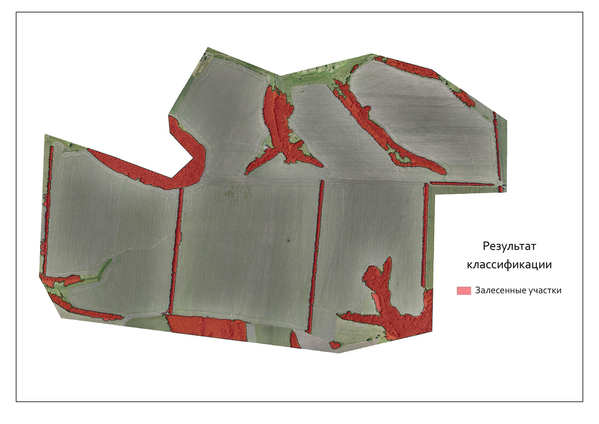
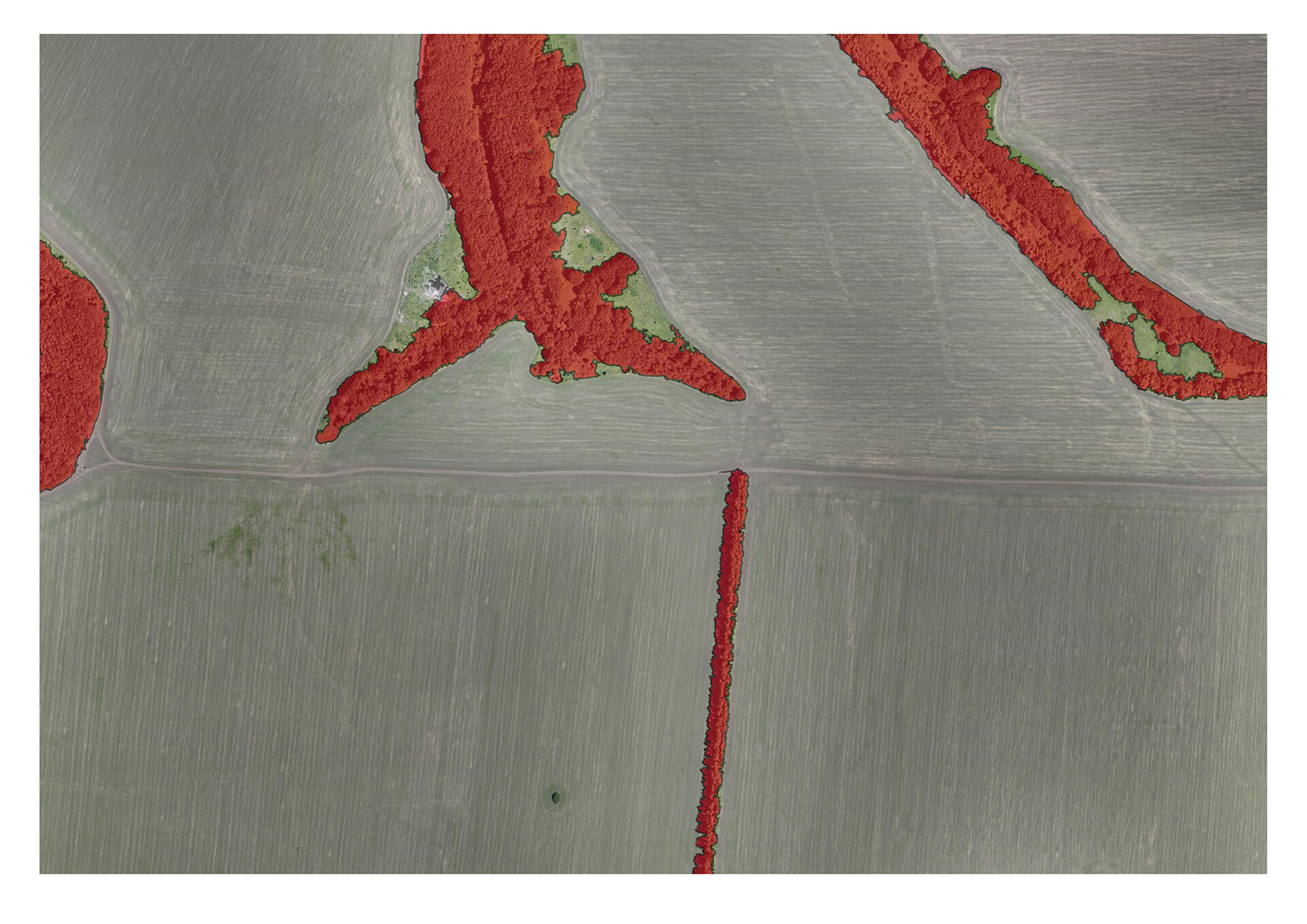
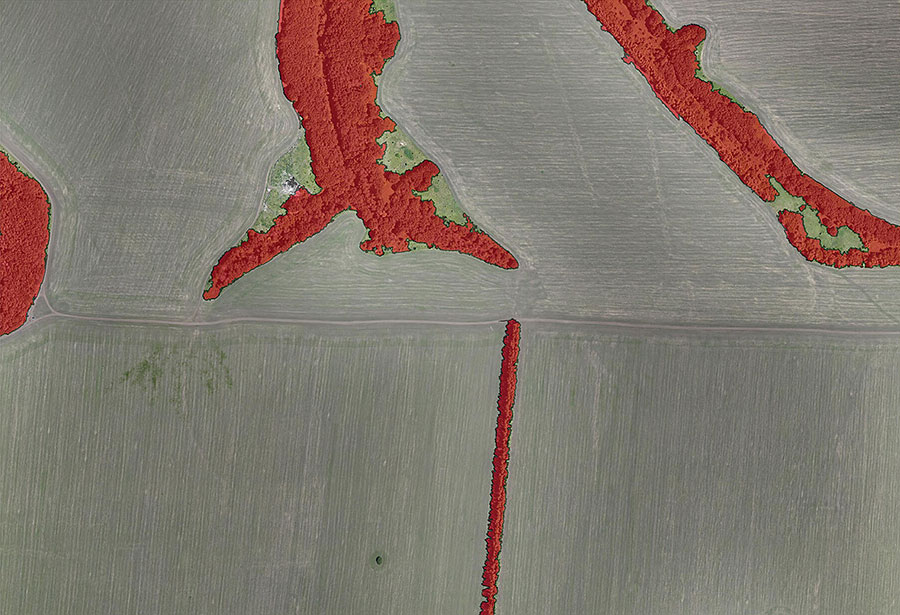
The result on the selected area of the study is illustrated at Fig. 2 and Fig. 3. .

Fig. 2. Classification result.

Рис. 3 . The result of the classification at zooming.
Thus, with the help of the proposed method of processing, it is possible to approximately determine the forested areas on highly-detailed orthophotos automatically. It should be noted that in this case a method, which provides only a per-pixel classification, was used. Nowadays, methods of texture analysis of images are widely used and are developed. In the future, a joint application of these technologies is planned, so that a significant increase in classification accuracy is possible.
Author: Andrey Kot
