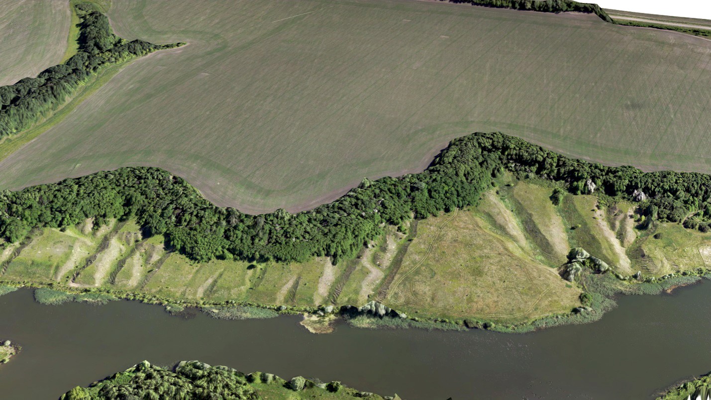
During the AgroNTI project not only accustomed orthophotos and 3D models were created, but also new information products. Specifically - thematic layers with maps of drainless areas and surface runoff directions.
How and for what these layers were created.
Surface runoff is the movement of water over the surface of the earth. On agricultural lands surface runoff occurs as a result of precipitation and snow thaw. If there is no surface runoff on the plot of arable land, it is a drainless area. Moisture leaves the drainless areas only during leakage, evaporation or water absorption by plants. The detection of the drainless areas and the determination of directions of the surface runoff is necessary for determination of the nature of the runoff and for determinination of the locations of the runoff in purposes of monitoring. This is important in agriculture since the drainless areas are usually highly waterlogged, what leads to the death of plants (soaking). On the other hand, the emergence of runoffs on arable lands leads to the appearance of scours and flushing of fertile soil, in other words, water erosion.

Soaking and water erosion.
What to do if there are problematic spots on the arable areas.
On the drainless areas, attention should be given to agrotechnical techniques that improve water permeability. of the soil In the areas prone to water erosion due to surface runoff, drainage and grass seeding are carried out. Slope areas of arable lands should be taken into account when planning crop rotation, selecting the directions and methods of soil cultivation.

Plot of arable land, runoffs with a catchment area of more than 0.6 hectares are shown. Drainage and grass seeding were carried out.
The use of UAV and Agisoft Photoscan software allows to reconstruct digital terrain models with a high degree of detalization. For the relief analysis by the aerial survey data a matrix of heights is built. The pitch of the grid of heights, generally, is tens of centimeters. Further, with the help of GIS "Sputnik Agro", a surface runoff is modeled by the height matrix, and the drainless areas are determined. In this case, leakage is not taken into account. The user specifies the pitch of calculation and the threshold value of the catchment area.
More information on application of GIS Sputnik is available by the link
Prokofiev N.A.
